I took a masochistic trip to Massasauga Provincial Park this past weekend in some of the heaviest, most continuous, coldest rain I’ve ever experienced while camping. I knew what I was in for, so I’m not asking for any sympathy or congratulations. I wanted to get out in some nasty conditions to step up my efforts to move into cooler “shoulder” season camping and tripping.
Overall it was a great success. I essentially went from living in my dry suit during the day to living in my tent after supper. The tent’s vestibule was akin to the airlock of a space station, with my dry suit being the space suit. The only time I was chilled was setting up and tearing down camp. Mostly it was my hands, as I couldn’t figure out any way to do everything I needed to while wearing gloves.
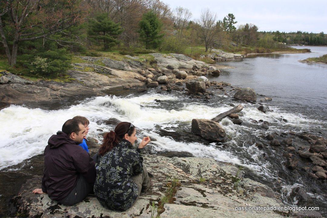
There is an amazing amount of water everywhere. I checked out some falls on the north end of Blackstone Harbour, which I hadn’t seen on previous visits. I HEARD them from the dock at Pete’s Place and then looked over to see an impressive amount of whitewater coming over the cliff about 700m away across the water. On my return after spending Friday and Saturday night at different sites in the park, I paddled over to check them out.
I took the first picture, and then found the second picture online that was taken from roughly the opposite angle and shows how different the water levels are. Look at the three large rocks at the base of the falls and the tree on shore to orient yourself…
The first pic is what’s called “run-able!”
As to your “masochistic” camping trip–Even a cold wet time is a good time, imho.
–That is, if’n yer one of the sturdy kind 
We are headed there in mid-June. I’ll have to swing over & see what they look like then.
@spiritboat said:
The first pic is what’s called “run-able!”
As to your “masochistic” camping trip–Even a cold wet time is a good time, imho.
–That is, if’n yer one of the sturdy kind
Run-able? I guess… “if’n yer one of the sturdy kind”
Definitely not my kind of kayaking. Anyone experienced with white water want to give a rough guess for a class rating? What you see in the videos is it. Upstream is calm as far as I could see and downstream is a lake.
https://www.youtube.com/watch?v=V2Zcv92MU7M
https://www.youtube.com/watch?v=xWdAJoK3qtg
https://www.youtube.com/watch?v=fkwHPa5ig1k
@rival51 said:
We are headed there in mid-June. I’ll have to swing over & see what they look like then.
@rival51 said:
We are headed there in mid-June. I’ll have to swing over & see what they look like then.
I hope you made reservations already! It’s a great place but has become so much busier in the last few years. Roughly what route are you planning to take?
If you have a chance to get to the falls, it would be neat to see a video of them at a different water level.
@Sparky961 said:
Definitely not my kind of kayaking. Anyone experienced with white water want to give a rough guess for a class rating? What you see in the videos is it. Upstream is calm as far as I could see and downstream is a lake.
Well, that last ledge looks to be the real doozy…And given a choice, one doesn’t want to "run’ anything (there or before there) in a nice long sea kayak loaded with camping gear–Although it has been done in some quarters :# .
I say, those falls are Class IV “run-able”.(Not me without the potential for a swim, mind you. But indeed run-able.) Although some would probably argue they are merely a Cl. III with required scouting. If everything above that last ledge were nothing but similar(extremely difficult, continuously long violent rapids) of the same like, then I’d say definitely Cl. V.
I base my criteria not how high or turbulent any falls are, but on whether rescue(self or otherwise)is possible.
If not, then they’d be firmly “expert only” Class V.
Potentially nice play wave there in 2nd video just above that last ledge. Could be surfed, if one had the inclination and could fight off any grabby boils at side eddies, and then manage to ferry up into it. (Yeah, right.) Happy water trails!
@Sparky961 said:
@rival51 said:
We are headed there in mid-June. I’ll have to swing over & see what they look like then.
@rival51 said:
We are headed there in mid-June. I’ll have to swing over & see what they look like then.
I hope you made reservations already! It’s a great place but has become so much busier in the last few years. Roughly what route are you planning to take?
If you have a chance to get to the falls, it would be neat to see a video of them at a different water level.
Yes, reservations were made some time ago. We have 3 sites on Sharpe Island for Thurs & Fri nights and then close to Petes for Saturday night. We will paddle out, set up camp, and explore from there.
Have you been out to the fish place on Frying Pan?
I saw two features in the videos that jumped out at me: 1) The hole in the middle (spiritboats play wave) looks pretty sticky and could be a stopper on the way down. 2) The bottom drop is pretty juicy but would likely be Ok if you were in control at the top. what caught my attention is the pinning rock right in the middle in the run out. That could catch you if you weren’t in full control through there.
interesting feature barely in view, on far river right where the water is churning upward- possible hazard
@tdaniel said:
interesting feature barely in view, on far river right where the water is churning upward- possible hazard
Yes, that was intriguing to me as well. It was neat to see how it redirected the water almost vertically. I wasn’t able to find a vantage point where I could see it from the side or back though, so I just have to assume there was a rock in the middle of the flow there.
That said, if you’re going down that side of the falls you’re already in deep, deep trouble. There’s barely enough water crashing down the rocks on the other side to float a boat.
This is the best picture I could get of that side while churning around in the eddies below:
@rival51 said:
Yes, reservations were made some time ago. We have 3 sites on Sharpe Island for Thurs & Fri nights and then close to Petes for Saturday night. We will paddle out, set up camp, and explore from there.
Have you been out to the fish place on Frying Pan?
Yes, I went to the “fish place” (Henry’s - henrysfishrestaurant.com/) last year for the first time with a small group of paddlers. It was good, but I think my expectations were higher than they should have been going into it. I think it’s a worthwhile experience to have once but not repeat often.
We stayed at Wreck Island for two nights and day tripped from there. We had three novice paddlers with us, so it was something of a learning trip for them and for the rest of us we were taking it easy.
If you aren’t already familiar with the area, be aware that there’s lots of larger boat traffic in the area, with this being a major “cruising route” in the summer. Float planes also land nearby and taxi over to Henry’s so you need to be very alert when paddling around there. When you get to Henry’s, stay away from the larger boat docks and especially the low float plane dock, which you’d initially think would be a great place to exit a kayak. Instead, the shoreline rock to the south isn’t bad but can be slippery. There may be another dock too, but docks aren’t my first choice if I can avoid them.
The Massasauga map does a decent job of showing the boat channels, including the day markers. CHS Chart #2202, Sheet 3 shows much better detail though.
The trail on Wreck Island is a nice way to stretch your legs after paddling. It isn’t too far from Sharpe, and it would be on the way to/from Henry’s if you end up going there. There are lots of near geological features here, though we couldn’t figure out the numbered markers for the interpretive trail.
Thanks for the input - I’m looking forward to the trip.