Friday May 12th we met at Buck Hall USFS campground on the ICW (Inner Coastal Waterway) for 8 days of coastal paddling. Those that paddled all 8 days had over 100 miles. That Friday those that set up camp early enough did a ICW and Awendaw Creek paddle. Several gators were seen along the creek.
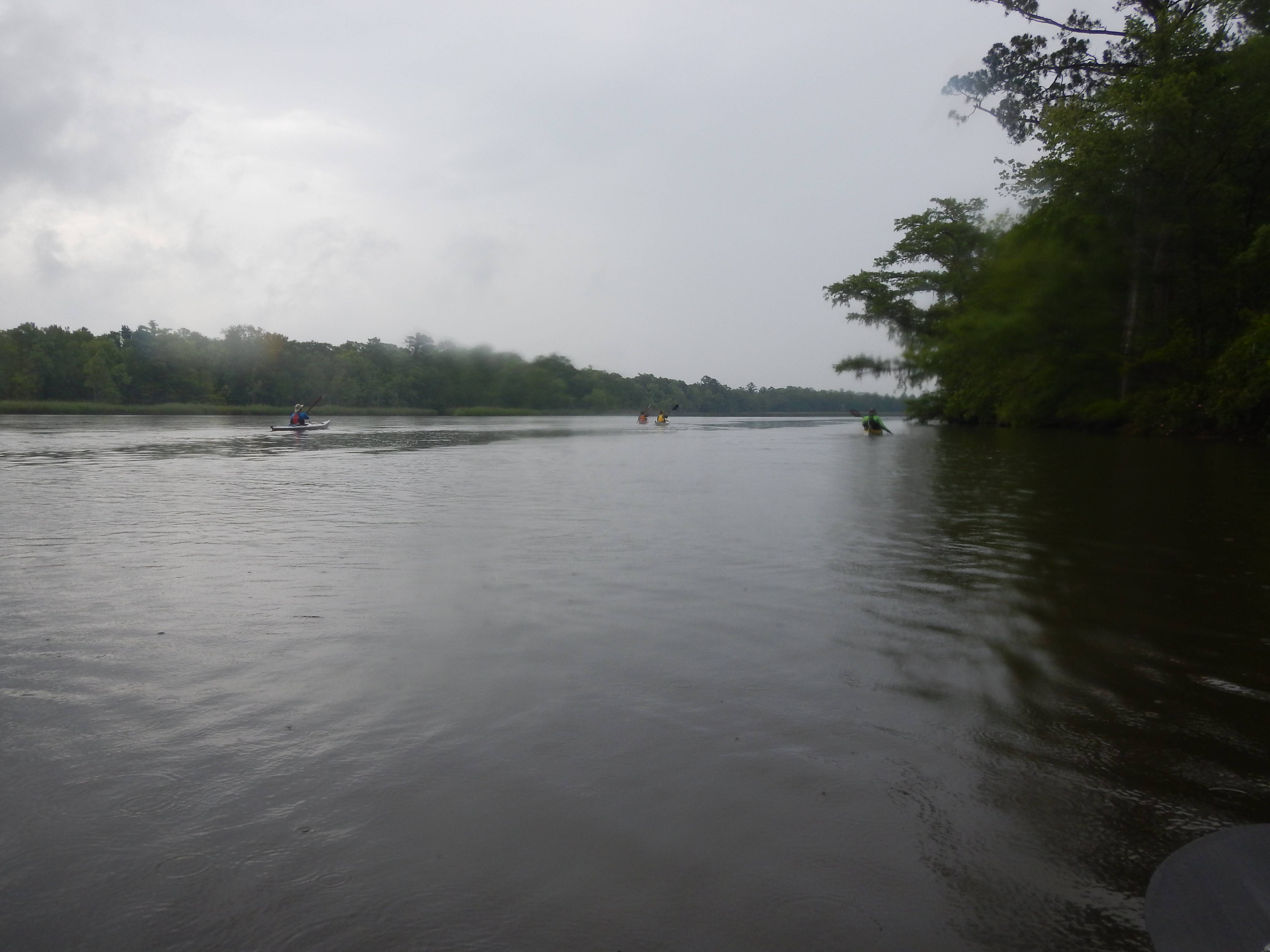
Saturday they called for rain so we did a tidal river paddle on the Wamba and south Santee Rivers. If the rain was heavy we could cut the trip in half as it was only an off an on drizzle we did the full 16 miles using an old rice plantation canal. There were a number of blooming plants, and the Yellow Crowned Night Herons and Prothonotary warblers were nesting. We saw a small gator on the rice canal.
Sunday was sunny and we but in at the Buck Hall boat ramp. We paddled out into Bull’s Bay past the White Bank Islands to the Mouth of Five Fathom Creek on the Atlantic. We stopped and ate lunch and walked the massive banks of shells. When we landed a Diamond Backed Terrapin made a dash for the water. Later when paddling the marsh creeks behind the beach dunes we saw scores of them swimming. They would stick their head up for a breath spot us and go back down. It was an 18 mile day.
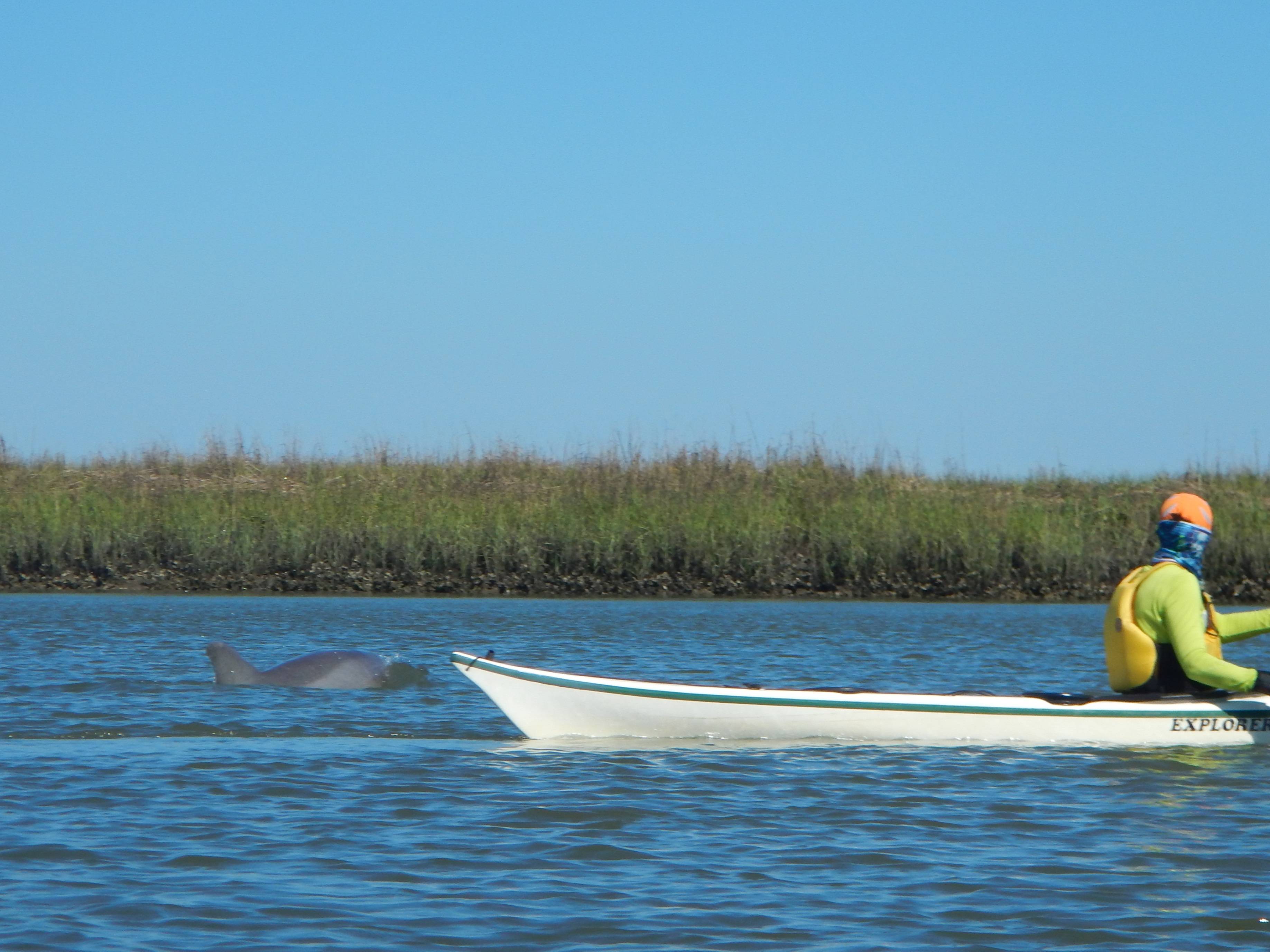
Monday the group headed for Bull Island through the marsh and across an open water section of Bulls Bay. We ate lunch at the NE tip of Bull Island. I towed my wife 7 miles of this 16 mile day. The crew in the tandem did about 3 and Ole did about 4. We didn’t paddle around ocean side as the wind had picked up and was against the tide. We paddled a different route back through a marsh maze along the edge of Seewee Bay. We saw several Loggerhead Turtles in Bulls Bay one came up within feet of Karl, and one came up about 15 feet from me.
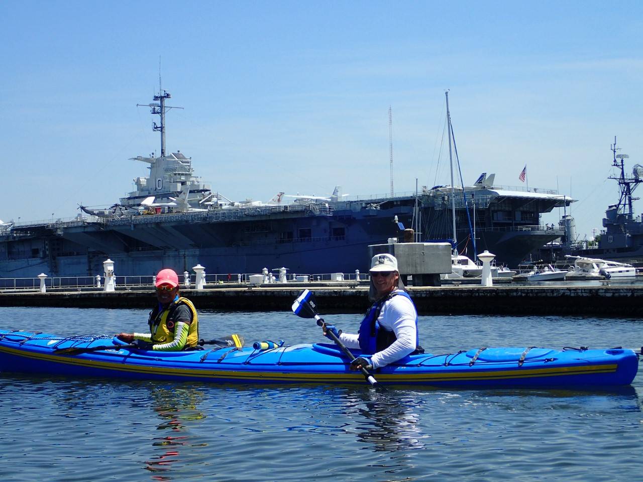
Tuesday I stayed at camp and got the trailer ready to head home and washed two sets of kayaking gear and packed for our 3 day 2 nights at a primitive beach camp. The rest of the group paddled Charleston Harbor
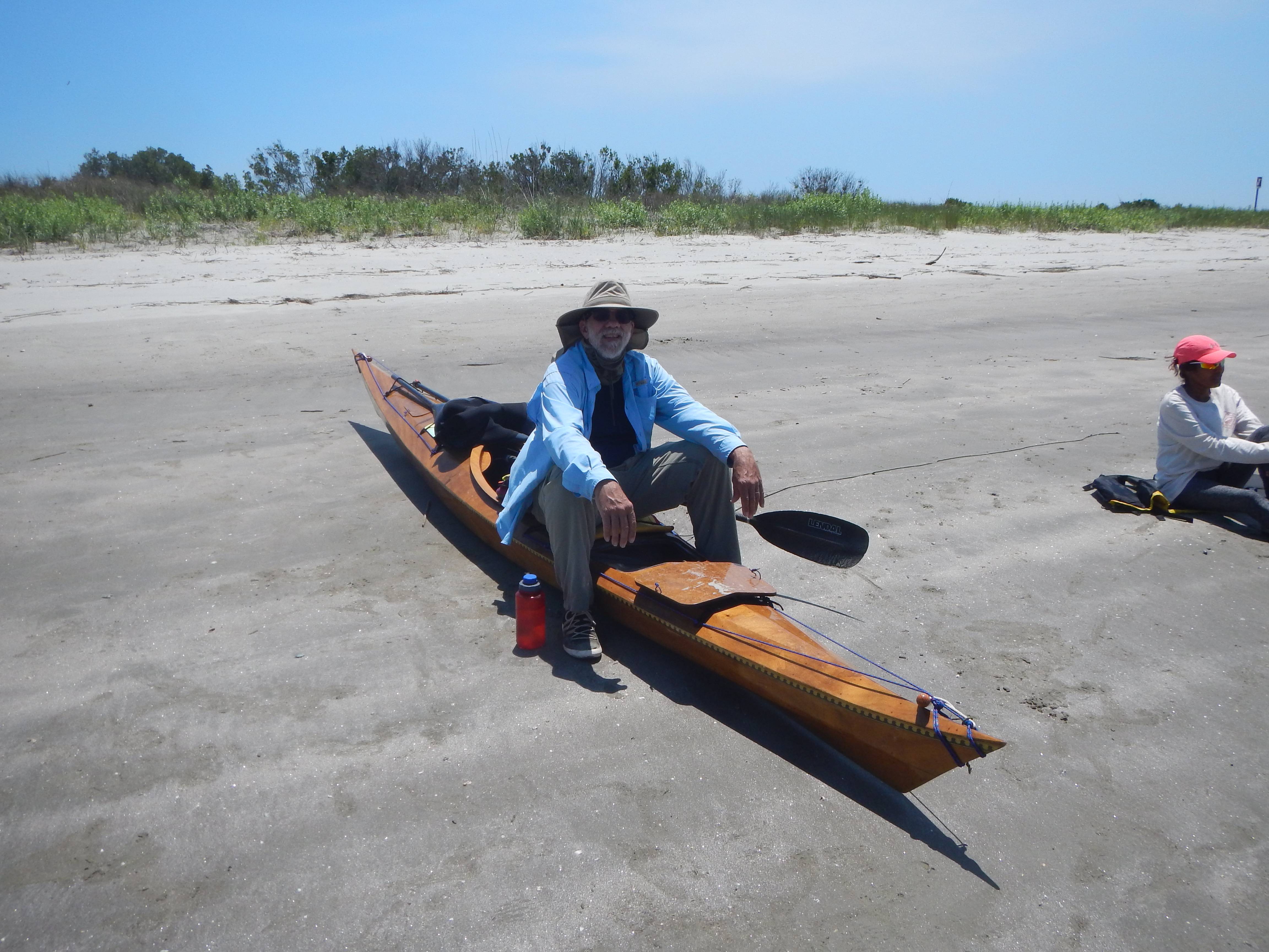
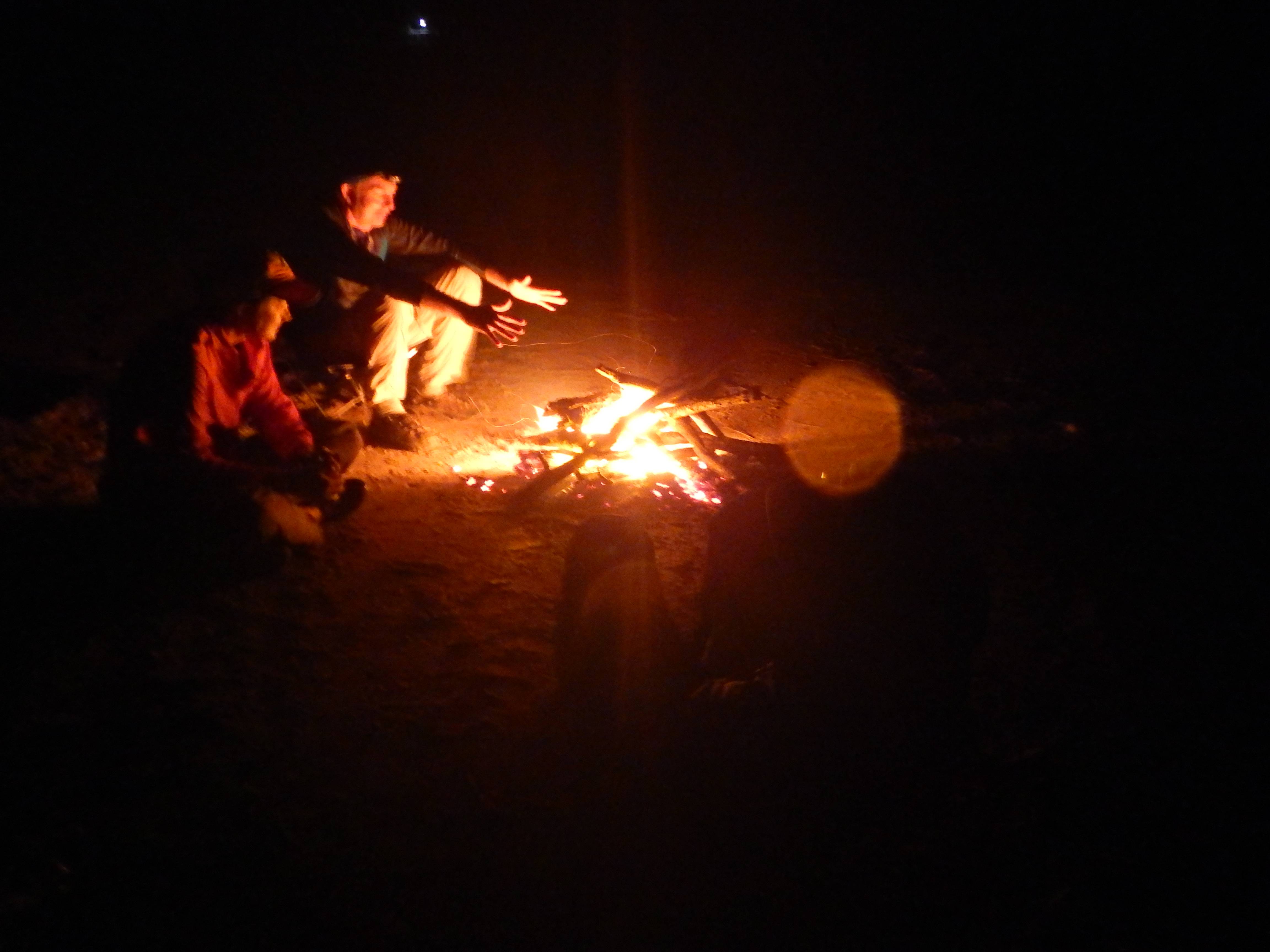
Wednesday Carol pulled our 17’ Casita home and 5 of us broke camp and picked up ramp permits for a McClellandvile launching the permits are $10 a day or a week permit for $30. We got on the water with an out going tide and paddled through the Cape Romain Wildlife Refuge to camp on the beach just outside the refuge. This is a 10-13 mile paddle depending on the conditions and which route you take. We pitched camp built a fire, and walked the beach well after dark. The Stars where magnificent. Murphy Island doesn’t get many Loggerhead Turtles nesting on the beach, and we didn’t cross any tracks in the sand. However over 25% of all nest in SC are found just across the inlet on Cape Island. The Least Terns and Skimmers were nesting just across the inlet on the tip of Cape Island the USFW folks rope of the nesting areas to keep people out.
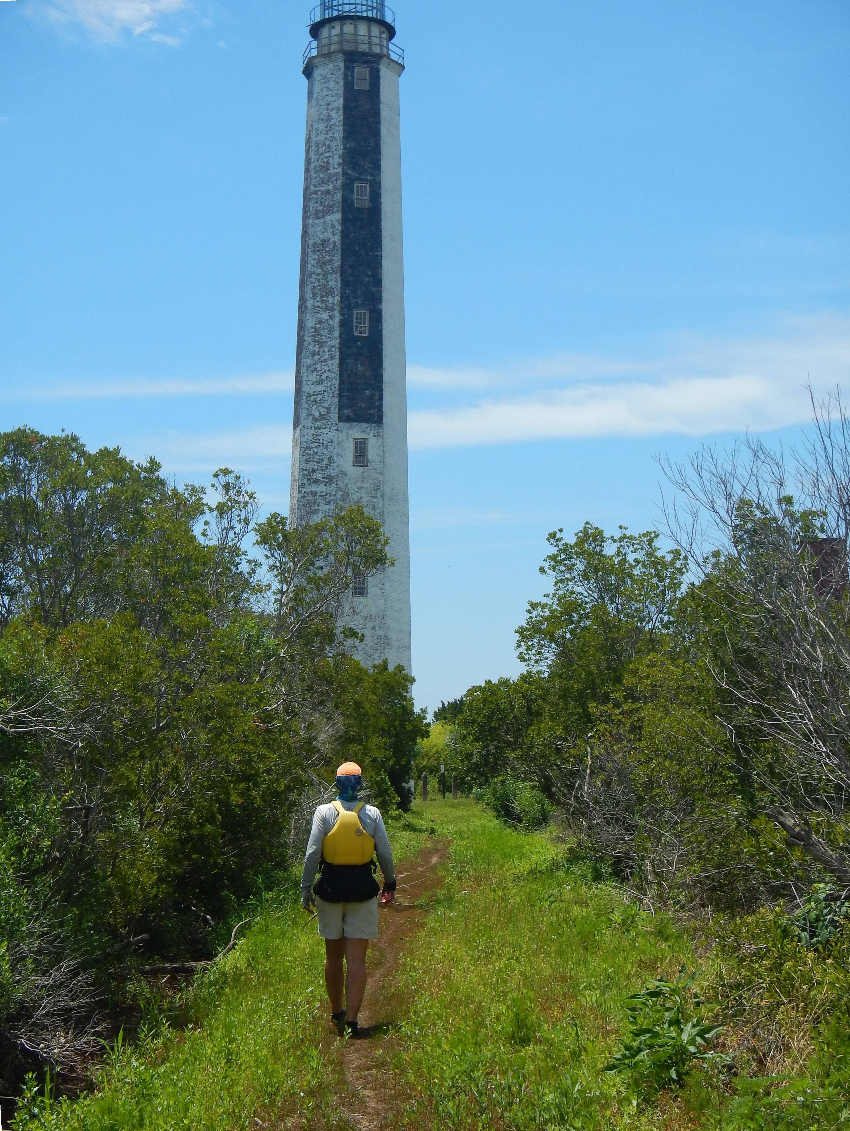
Thursday we paddled out across Romain Harbor to Lighthouse Island. You have to land there near high tide if you want to take out and walk up to the 2 old abandoned lighthouses. We then paddle over to lighthouse inlet watched the breakers and ate lunch on the other end of Cape Island. We saw Loggerhead Turtle heads pop up for a breath and go back under. On the way back Ole and I paddled out through the breach in Cape Island and paddled back on the ocean side. This breach has grown in size from 3 small cuts through the Island that a hurricane several years ago created into one large breech now, after the eye of hurricane Matthew past over the island last fall. We had 3-4’ waves and stayed about ¾ of a mile off shore to avoid the breakers. Had to keep looking over your shoulder so a steep one didn’t take you by surprise as the waves were coming in at an angle to the beach and were somewhat behind us. A 15 mile day and an excellent fire on the beach again that evening.
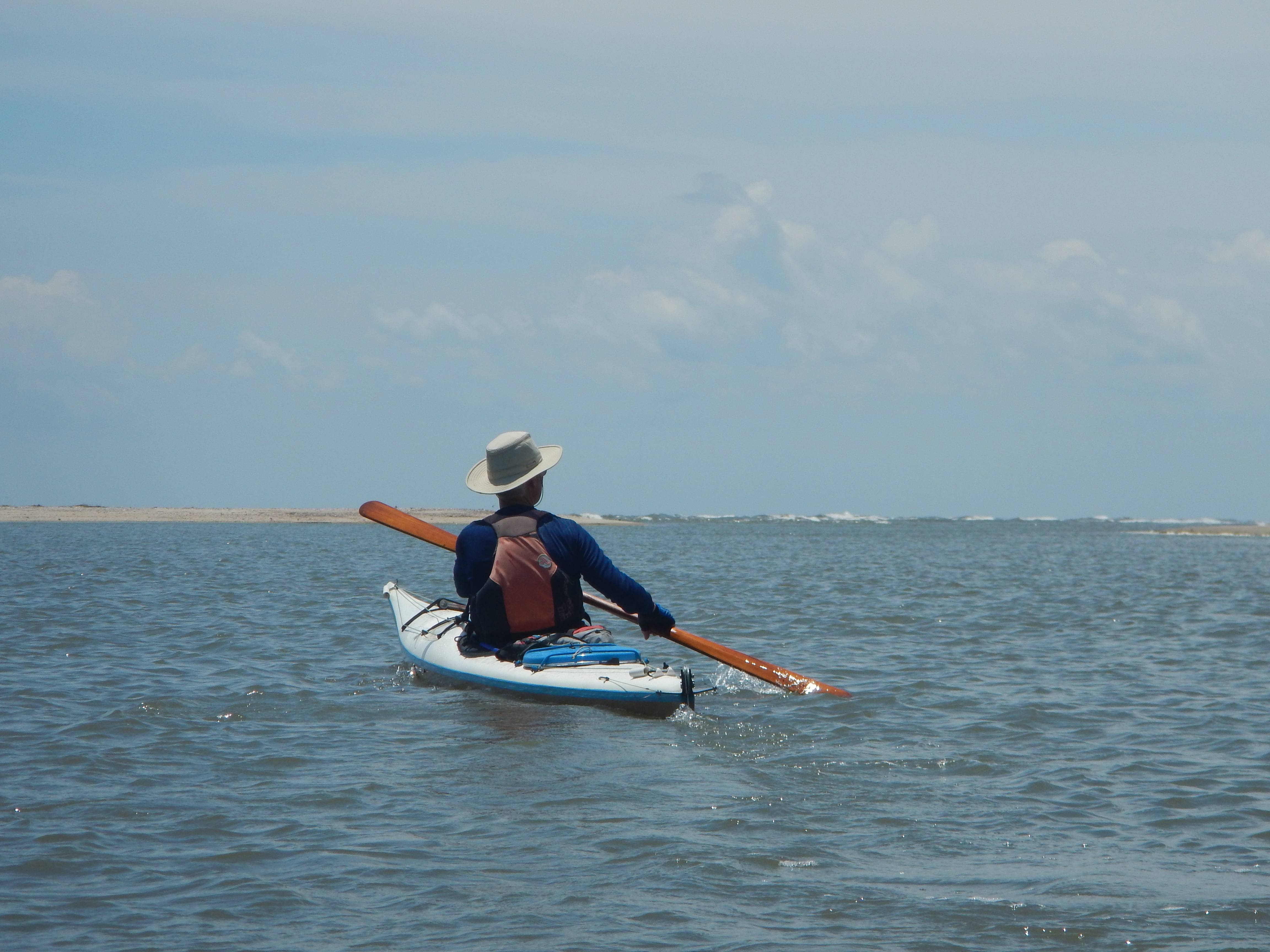
Friday we broke camp and headed back to McClellanville to the boat ramp. Ole stayed an extra day by himself and paddled home on Saturday. The winds had been steady enough to keep the biting bugs down on the beaches so that made things more pleasant. They can be overwhelming after dark, and bad enough during the day if it is calm.
Buck Hall Campground on the ICW


The Wamba and South Santee

Yellow Crowned Night Heron

The old canal for rice plantation irrigation.

Boat ramp at Buck Hall.

Paddling past the White Banks Island in Bulls Bay.

The shell banks at the mouth of Five Fathom Creek where it enters the Atlantic.


Paddling back to Buck Hall

Lunch On Bull Island


Charleston Harbor Photos By Brant, Nora, and Ole


Beach Camp near the Cape

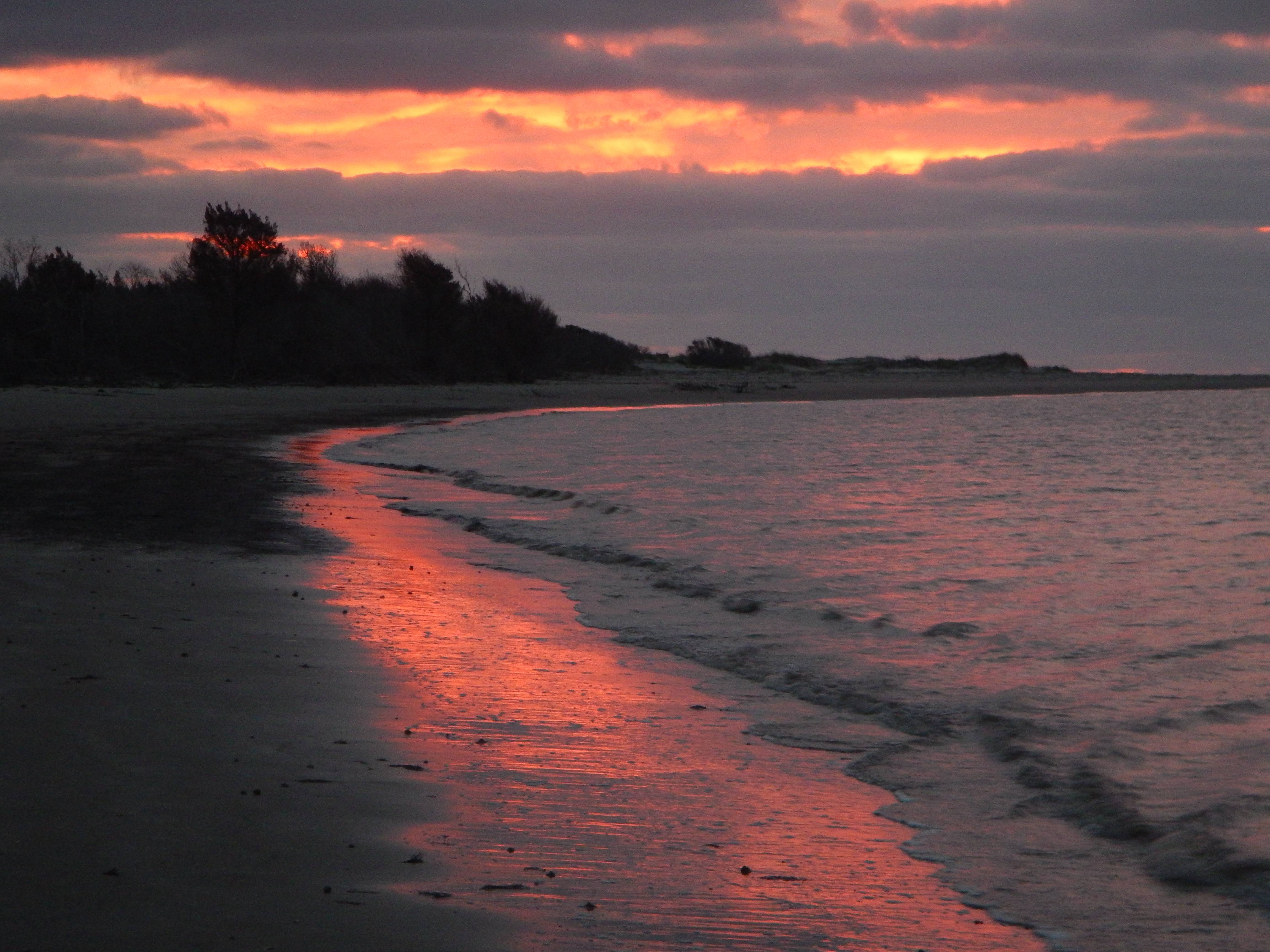
Sunrise


Possum in camp overnight

Lighthouse Island


lighthouse inlet
Loggerhead Turtle tracks
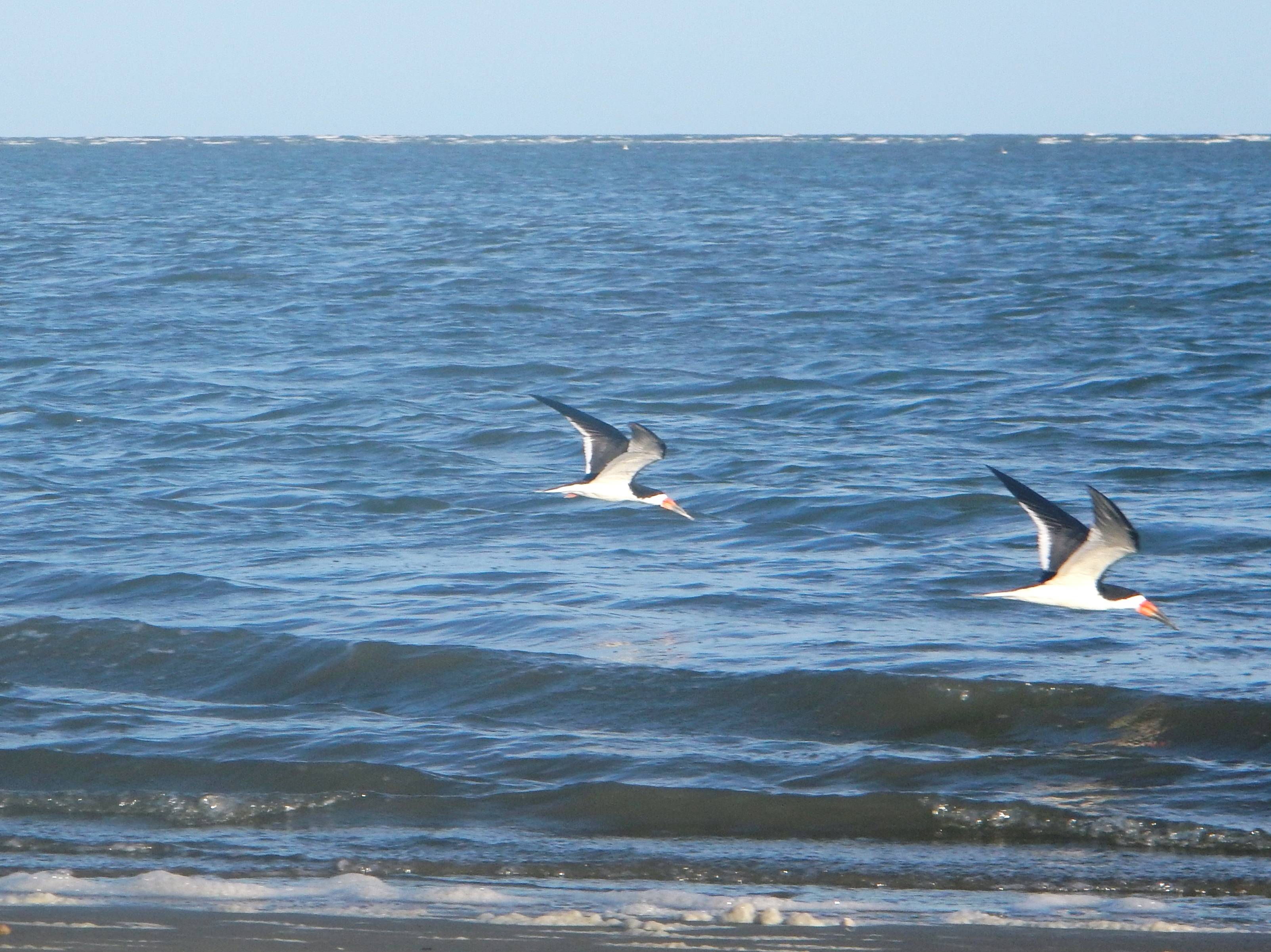
Black Skimmers
Beach campfire

Another sunrise last day

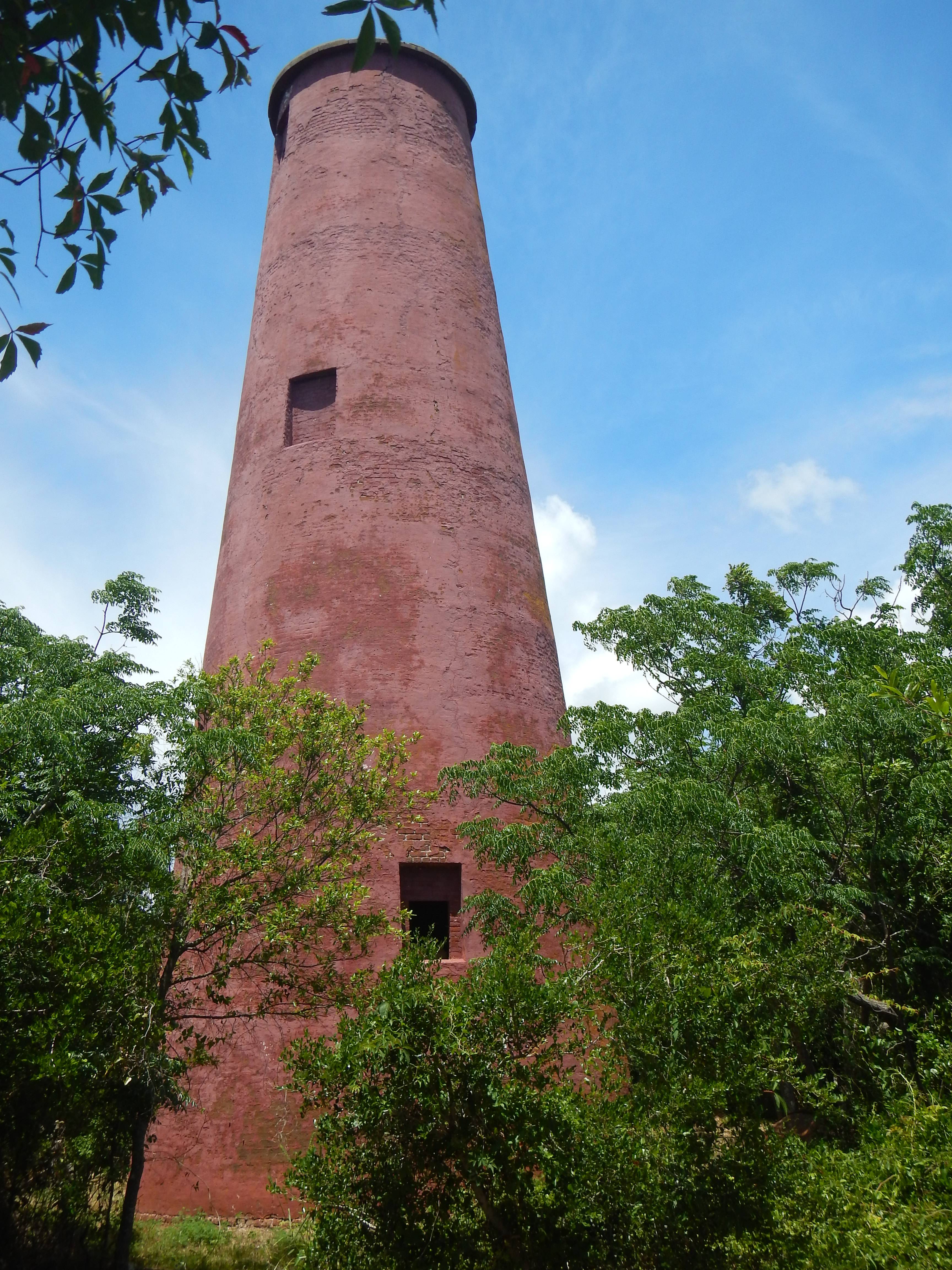
Fallen fire tower went down in the same hurricane that formed the breach in Cape island

Ole’s day of solitude shared with a Bonnethead Shark and Knob Whelk


