I’m trying to find a compendium of weather information useful to kayakers. How to spot an incoming storm, how to spot a front, how to read the clouds/wind changes ect. Can anyone recommend an article or webpage? I have a little info but I want to check and expand on it.
3 of my last 4 paddles here in Florida have been cut short by storms. I watch the forecasts and check continually while I’m out there, but the predictions have been way off lately. Generally this time of year I just try to get off the water before noon, since the storms role in after that. I’d like a guide or article to help though. TYIA
Weather patterns have general signs, but reading them requires keen observation and a knowledge of local patterns. Even then, it takes guesswork. Weather app radar is often about 10 to 15 minutes between updates. When I was in Florida, there real doozies that materialized from nowhere. The signs that I look for in the mid-east around the Chesapeake Bay have been accurate to about 95%, with 4% false positives. Only once did I get cocky and launch against my better judgement. I went 1/2 mile and beat feet back. I caught the fring of a thunderstorm with rain only and continued paddling the cove around the launch.
Your best guide is your own experience and observations.
People are mesmerized by met data. A lot of it is interpolated between larger sites.
Look for vertical cloud development, Changes in wind direction. Increasing wind. Be aware of fetch, and tides.
Get off the water when you can see it coming. Most people have this idea “they have to get home.” If conditions are bad, go to shore. Bring enough equipment for an overnight bivouac. Be safe and go home in the morning.
A VHF radio with weather alert is highly recommended, but not foolproof. A cell phone with live weather radar is also useful, but cell phone coverage is not guaranteed and using a cell phone on open water can be risky for the phone. In spite of IPX ratings, Apple and Samsung phones are not warranted against water damage. The companies consider it abuse, which many people have found out to their surprise.
I find the My Radar App is quite helpful in the field. Seeing storms approaching before you can even hear the thunder, and being able to estimate time before it reaches you, has helped our decision making. But that is real time data.
You might find this and other courses in this site helpful for what you want, but it requires a subscription:
Not just the clouds but distant thunder is a good sign. You can often smell the rain as a storm is getting close. You can see the rain falling at a distance. The wind shifting or swirling is another sign. A drop in temperature as the downdraft is pushing cold air down to ground level. Cumulonimbus clouds in FL are a good sign that they may become thunder clouds or anvil heads when the height of the cloud gets so high the upper airstream starts to push the top into an anvil shape. A roll cloud or shelf cloud will indicate the lead edge with high winds.
Lightning can travel 10 to 12 miles from a thunderstorm. This is often farther than the sound of thunder travels. The World Meteorological Organization (WMO) has established a new world record for the longest lightning flash – an incredible 829 km (515 miles) in 2017. It extended from eastern Texas to near Kansas City.
I have both the free versions of Windy and My Radar apps on my phone. Both are very good. The radar is updated every 15 minutes on My Radar which is the app I use most to spot the rain.
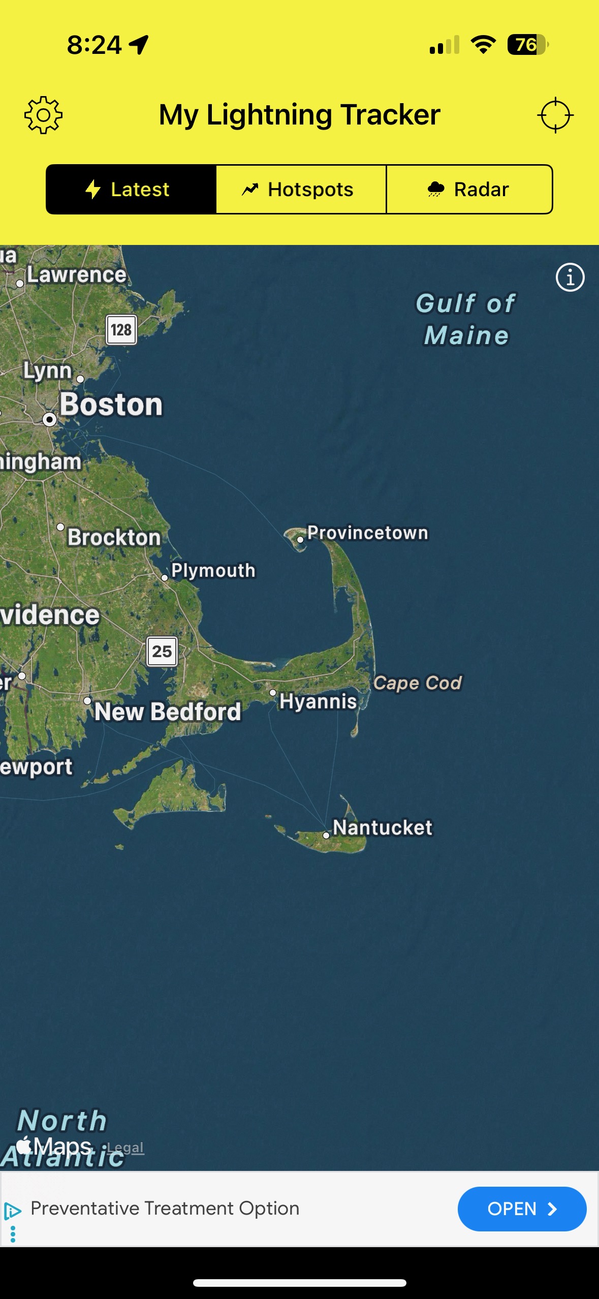
Using it today. It seems excellent. Already had a notification of some lightning far away enough to allow time to get off the water. That storm is heading away but a larger system is moving my way. It may miss us. I like that you can add the radar image too.
I found Instant Weather Forecasting by Alan Watts a great help. For each situation it tells you what to look for, what change to expect, how much time before the change arrives, etc. The facing page will be a photograph of a similar sky.
In Florida summer thunder storms are to be expected every afternoon. They are sometimes fierce but usually short. Find a place to wait it out. Don’t worry about getting wet. You’ll dry out quick enough in the bright post storm sun.
I don’t remember where I got this tip but it has proved to be rather accurate. With a clear view of the Cumulous cloud, “If the distance from the ground (or water) to the cloud is less than the distance from the base of the cloud to it’s peak—it’s going to rain.” By watching the progress of the clouds you can determine the likelihood of their intersecting with your course. Sometime waiting for the storm to pass in front of you is all you need to do.
I don’t completely trust things that require batteries.
Your Indian weather rock reminds me of my friends wind gauge. He claimed to have a cement block hanging on a chain in the back yard. If it blew out past 45% it was too windy to sail.