We have been planning since the first of this year to do a paddling camping trip back out to the Cape at Cape Romain. We plan for optimal tides to do these trips at the coast. However, due to high winds, rain, and in some cases high winds against the tide we have canceled twice.
The tides and the forecasts seemed to be coming together this last week. It was not a perfect match with high winds and at least a full day of rain, but the forecast had been improving and at least the wind directions outward bound and returning would not be against the tides. So, Tuesday we camped at Buck Hall on the ICW with plans of departing Thursday on the ebb tide with the wind behind us. Rusty would join us Wednesday evening for the paddle to the Cape.
Lisa and I did a short paddle up a marsh creek on Wednesday. We saw a Racoon swim across one of the branches in the creek we were exploring. I was so focused on trying to ID the mammal while it was swimming that I didn’t think to get a photo.
Well Wednesday evening when Rusty pulled into camp the rain and winds predicted for the next four days had taken a “tern for the worst”. Yes, I know it should be spelled turn, but we have this tradition of coming up with corny Tern Jokes as we paddle. A couple of examples “Where does a family of terns eat?” Why a tern table of course. “What do you call a tern when it fledges?” It becomes a Tern Coat." I know, I know, but I did say corny. Well, as we sat around the evenings fire, we decided to see what the morning forecast had in store for us.
The next morning the forecast hadn’t improved, and even seemed to be worse. The clincher was a forecast of heavy rain, chance of thunderstorms, and high winds on Saturday while we would be camping on the island. Sunday would have been a daunting paddle back with rain and head winds of 12 and gusts in the 30s. The wind would also be against the tide standing the waves up. If you haven’t experience this, let’s say it would be a tiring wild ride with a good chance of a capsize.
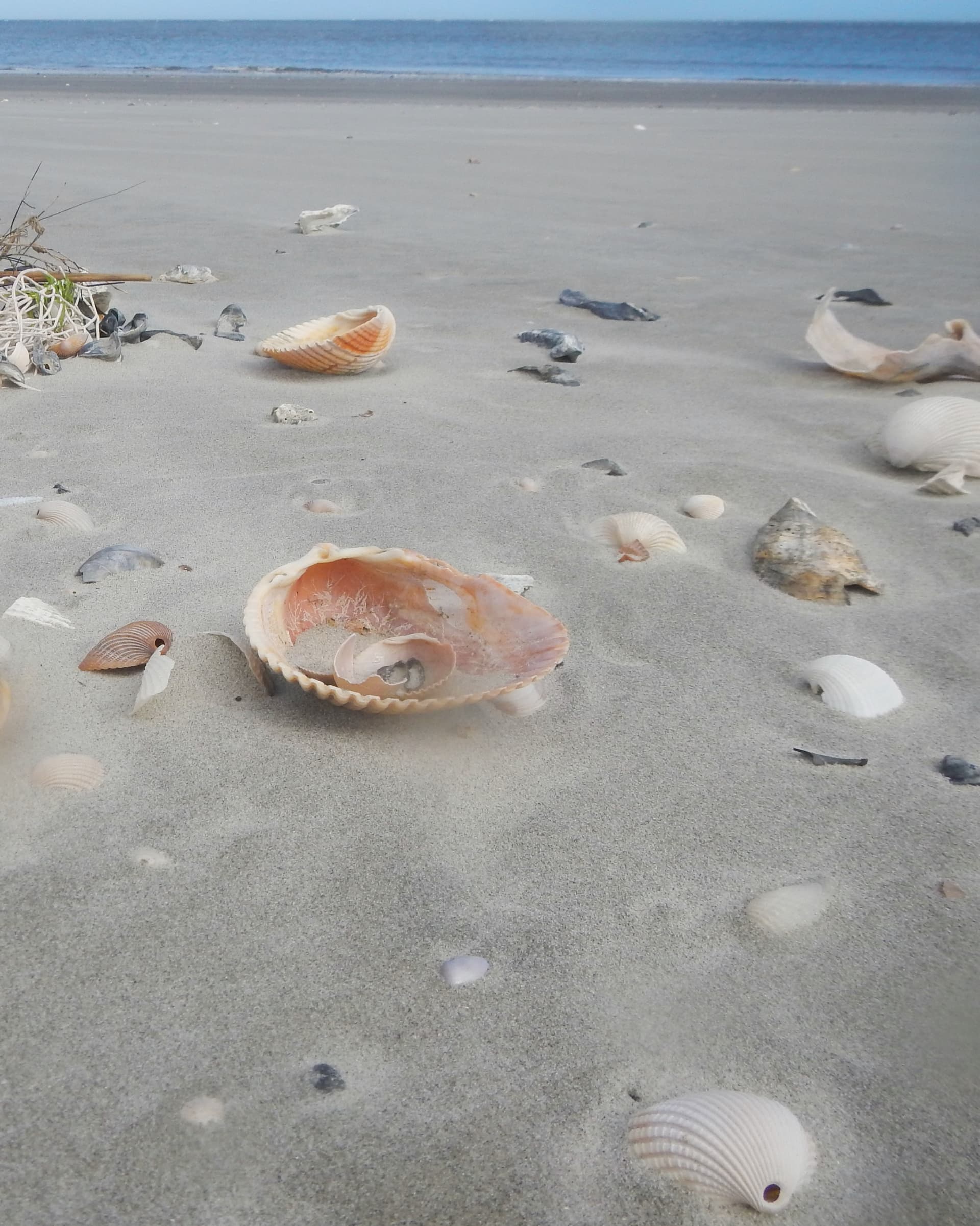
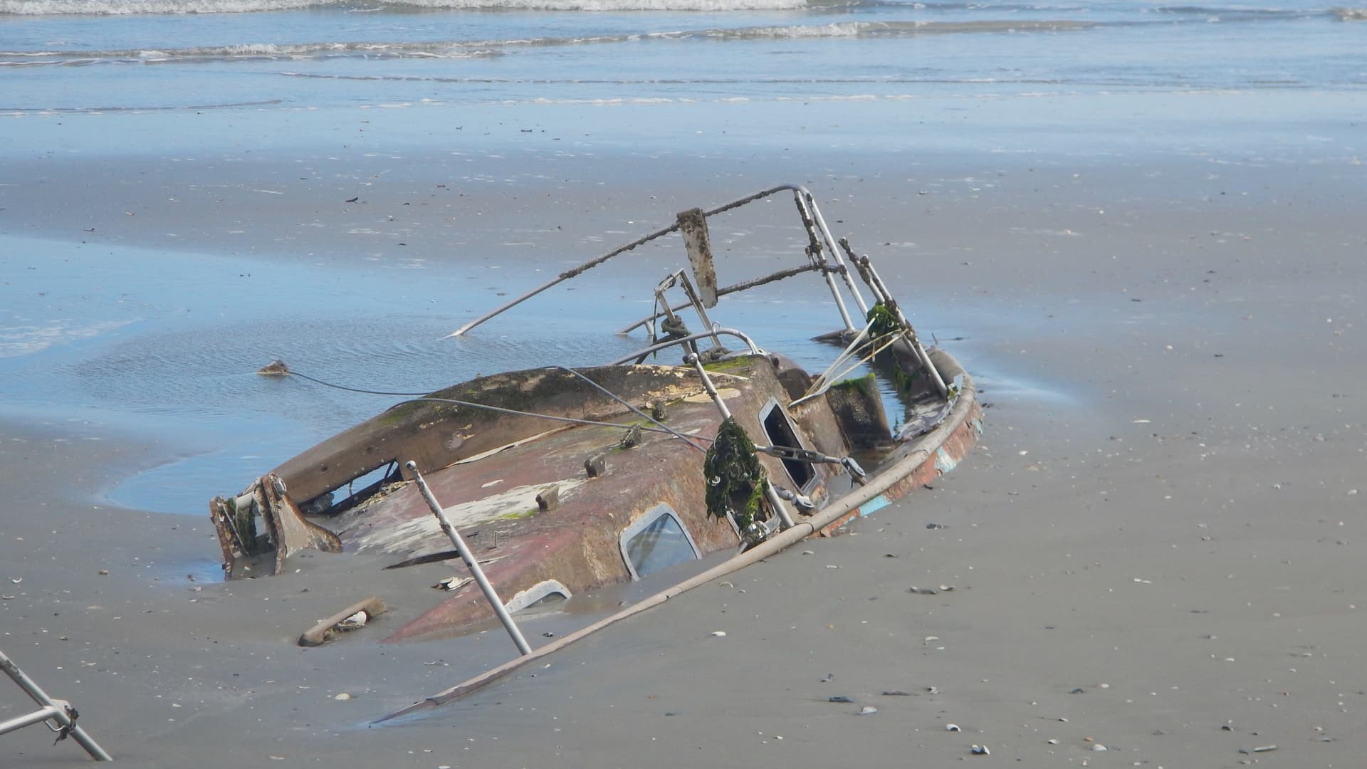
Hopes dashed, we went with making a lemonade from the lemon the trip was turning into. We decide a trip out to Bull Island would be a great choice. It is about 5.5 miles out to the north point of Bull Island with about half of the trip through the marsh, and about half doing an open water crossing of Bull’s Bay. What a good choice it turned out to be. We had the Island to ourselves. The wind was on our starboard quarter, and the ebb tide was with us. We made good time on the way out. The shell line was worth walking with all kinds of shells. We discovered a sailboat wreck partly buried on the beach which provided mystery and a reminder that the sea and weather demand respect. They are uncompromising.
I am posting photos of the trip.
Paddling a small marsh creek on Wednesday,


Glassy water as we cross the ICW from Garris Landing

Entering the Marsh from the ICW,

Approaching the Island.


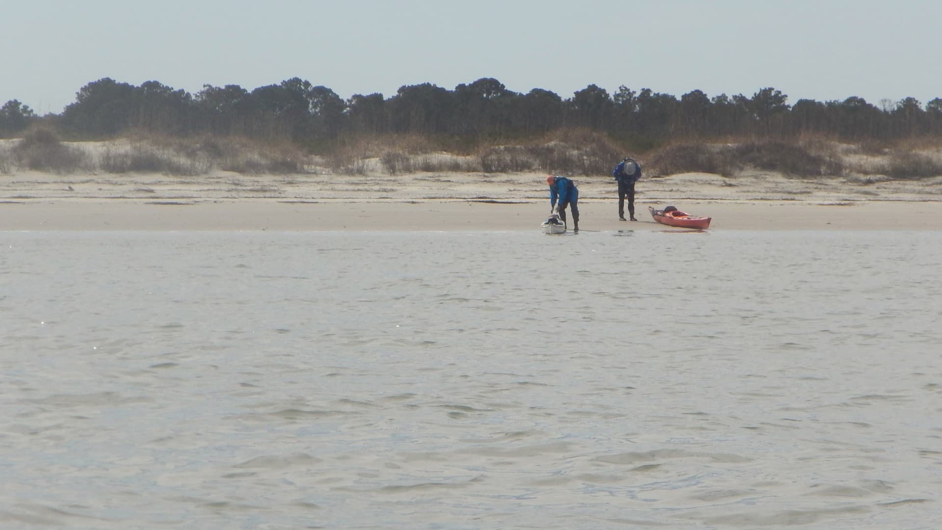
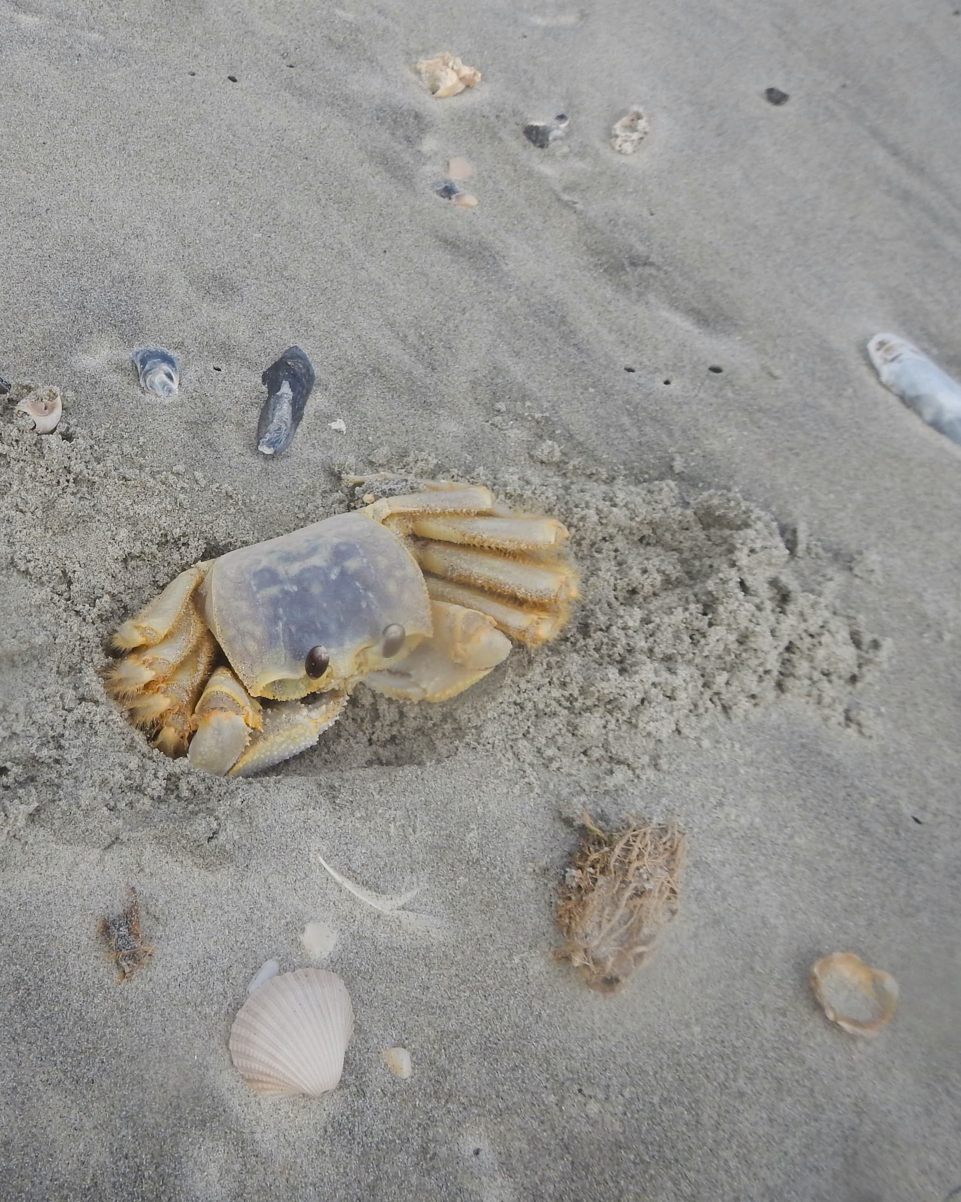
A walk on the beach.

Shipwreck.

The return trip against the last 2 hours of ebb tide and a quartering wind on our port bow.


Entering the mouth of Anderson Creek with an audience of crested cormorants.

This creek is a wide one.

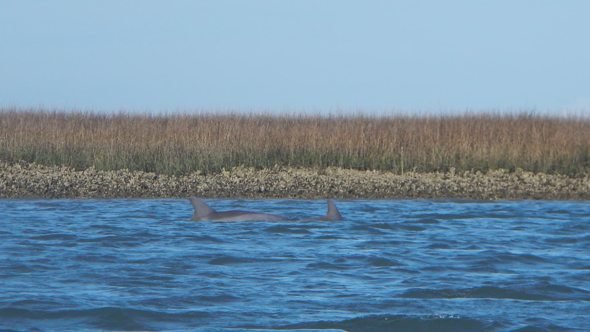
Dolphin passing by Karl.

We may have had to abandon our original plans and depart earlier than we hoped, but we did return with smiles on our faces.