I was just thinking back about five years ago when my paddling partners and I were on a 17-day trip along BC’s outer coast. Our route would take us from Bella Bella to Prince Rupert and was not a popular route for several reasons, which only made it more attractive to us. Three days in we learned an expensive lesson.

Martin Ryer’s account of having his boat and paddle taken by the evening tide while camped on Spring Island serves as a cautionary tale for all paddlers. It’s easy to say “That won’t happen to me”, which is what I thought until it did.

Dave, Greg and I were camped on the western shore of Price Island at a site called “P1” in the “West Coast Aristazabal, Price & Athlone Islands - Field Guide for Paddlers”. It’s a sizable and protected beach that is choked with large drift logs. There are no openings into the forested uplands that line the beach. We were expecting a 15.7 foot tide so camping on the sand was not an option. About 75 meters to the south and over some sharp rocks is a very camp-able area where we set up our tents. Not wanting to carry our boats across the rocks we left them on the main beach.
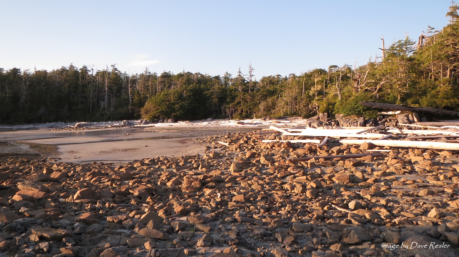
Examining the previous night’s high tide line we took into account the predicted rise of 3/10 foot and added a comfortable margin. The log that we set our sterns on was at least 3.5 feet in diameter and 1/3 buried in sand that was above the point that the tide could possibly reach. There were no winds in the forecast, seas and barometric pressure were flat. I tied the decklines of all three boats to a log well up the beach using my tow line.
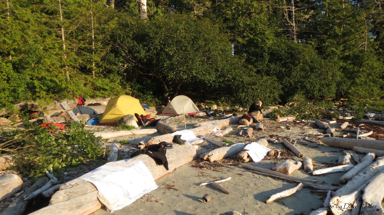
We spread our wet gear out to dry at camp, ate dinner and turned in for a quiet night of slumber.
We were up at 5:00 AM, ate breakfast and started carrying our gear 75 meters over rocks from our campsite to the adjacent cove where we had secured our boats. Dropping the first load I looked 100 meters up the beach and saw that our boats were no longer on top of the logs. They were still there but Dave’s Grand Illusion was against the logs pointing north, Greg’s Tempest was pointing south and mine was between them, sideways with the stern up on a large boulder! It looked like a yard sale. We had obviously miscalculated the evening’s high tide.
I went to investigate and saw that I had neglected to put my cockpit cover on. Consequently, my boat was full of water and wet sand. I was relieved to see my four paddle halves and chart case poking up through the wet concrete. My helmet was packed with sand and weighed as much as a bowling ball. I hoped that my hull hadn’t cracked over the boulder. Greg’s boat was tipped on its side and half full of sand and water. His chart case, containing most of Dave’s charts, was hanging from the deck lines like a water balloon full of tan confetti. It had spent some time in the washing machine along with his GPS. Dave’s boat was fine with the cockpit cover in place. Nothing was missing and the cockpit was clean.
I had tied the boats together and my knot had done its job but how did we miss this? We had examined the previous night’s tide line and thought we had taken 3/10 foot well into account. The sterns had rested on a large log that was at least 1/3 buried in sand and above the point the water could possibly reach. Even if the water did touch the log it couldn’t possibly float it…yet it had. The tide had somehow floated it, pulled it out from under our boats and sent them on a yahoo ride. This was with totally calm seas on a protected beach. Pretty sobering.
Dave had lost seven charts costing $140 USD. We gently emptied the water out of the case, pressed the confetti flat and strapped it back to the deck intent on salvaging some of the larger pieces. Greg’s GPSmap76CSx would no longer acquire satellites and was toast. The good news was that my chart case hadn’t leaked and I had brought my back-up GPS along. My hull was fine and all of my gear intact but cleaning wet sand out of the cockpit, helmet, etc. took a while and continues to this day.
Eventually we were ready to launch and it was then that Greg realized his graphite Werner was MIA. He had propped it between some logs near the bows of our boats and hung laundry on it to dry. His laundry and paddle were gone. We spent about 45 minutes combing the cove for that paddle before giving up, tucking our tails between our legs and accepting that the $800+ lesson we had just experienced was a cheap slap in the face that we had well deserved.
The Spring Island site where Martin lost his paddle probably has a different significance to him now than it did before. Likewise, “P1” was just a mark on my chart where I intended to camp. I thought that I had this figured out.
“P1” will forever be “Careless Cove” to me and my experience there has altered my behaviors, hopefully, forever.