Oops… I hit the button to post my opening thread. Anyway, I was going to talk about the specific section of the James River here in VA. It flows straight through Richmond, much like the Susquehanna does in Harrisburg, PA.
Use Google Maps and zoom way out and find Virginia. Zoom around and locate Richmond. Zoom in more and more and a little bit west of Richmond, going up river.
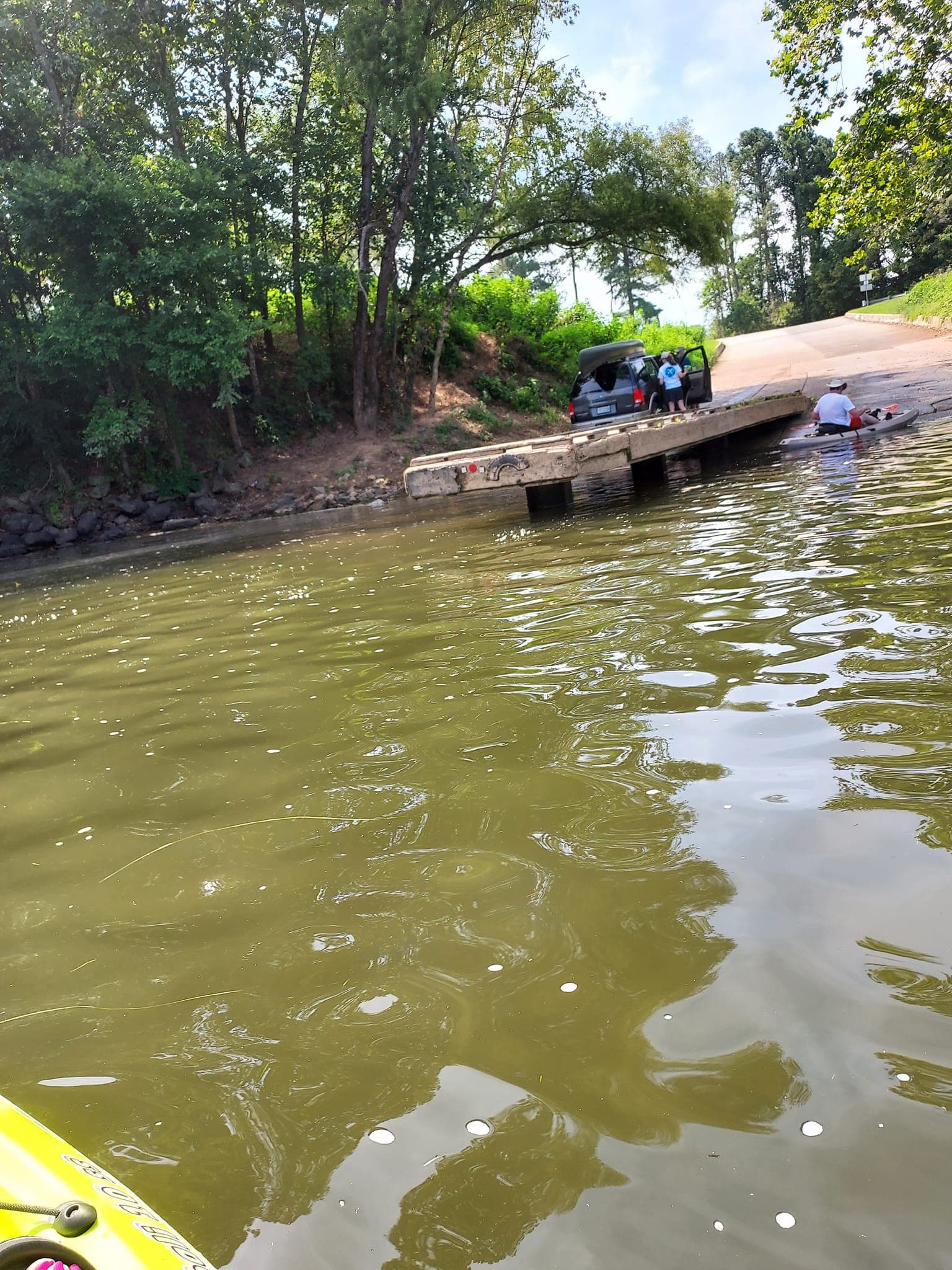
There is a very brief section of the river where it is actually navigable. From around Watkins Landing (where the boat ramp is in that photo), all the way down river to the Bosher Dam, the river is actually around 6’ deep, 8’ deep, and around 10 or 12’ deep right near the dam. Power boats zoom up and down the river taking kids tubing, etc… Everywhere else, just like the Susquehanna, it is NOT navigable and loaded with boulders, submerged rocks, etc… and only about 3 or 4’ deep at best.
The James River flows from high up in the Blue Ridge Mtns across VA and empties into the Chesapeake Bay. Below the city of Richmond, it has been dredged out decades and/or centuries ago, to around 30’ deep and is starting to get brackish and tidal.