What do you use to plan a sea kayak trip, whether it’s a day paddle, overnighter or something grander?
I’m devouring the Navigation and Route Planning modules on Online Sea Kayaking, and they make reference to tidal atlas books, almanacs and regional guidebooks. I find this stuff fascinating and wonder what people in the US use on a day-to-day basis to plan an outing. Are you using paper books and almanacs, or online resources?
I’m just outside NYC and I’m not aware of any regional guidebook specific to kayaking or small craft travel, but maybe I’m not looking in the correct places. Or maybe this content has been ‘replaced’ by the internet!
Bobonli, I don’t do long adventure trips, but I also enjoy maps, charts, planning, and estimating even local travel that I haven’t traveled. My favorite tool was a pocket chart called “My Charts” for select areas where I paddled. It was folded in a waterproof case on my front deck, between my deck compass and GPS.
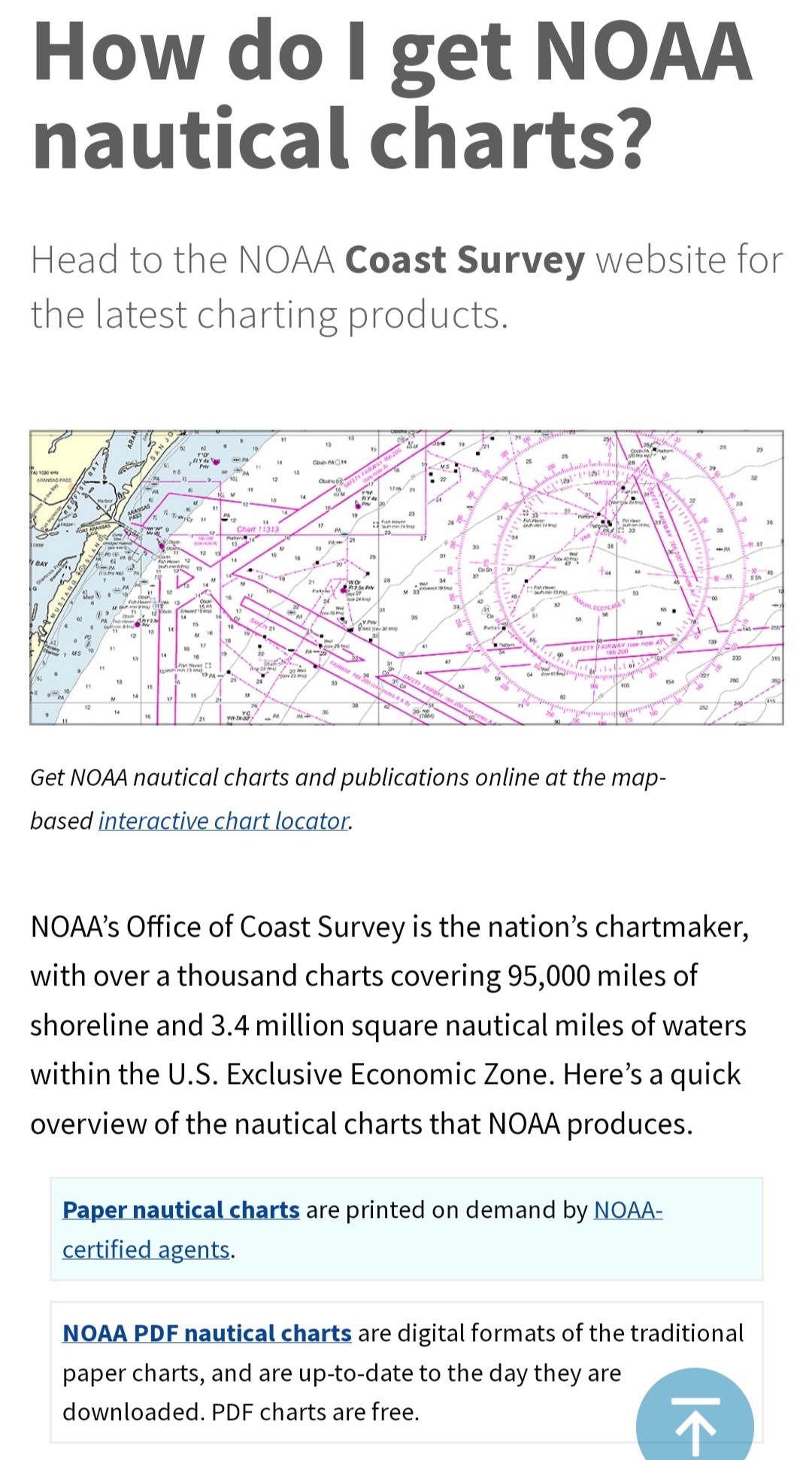
I always get a chart from the area and my chart case has dividers, protractors and scales. I have a GPS app and a wind app on my phone, a GPS with blue charts, that provides current and tide data. VHS gives weather updates. On line you can find tidal data for specific areas.
Before starting out on a untried course, I go over the information, calculate how far I plan to go using my estimate of conditions. When I get to the planned point of return destination, I consider whether my calculations were accurate. Then I make a decision to continue or return. How I feel at that point let’s me know whether I have the time or energy to venture further. Half the pleasure of paddling is knowing your level of speed and endurance to get the most out of your time on the water. I have a tendency to go a little further. Some days I feel like I don’t want to stop.
If you’re into navigation, this book has been a valuable asset. It’s more than point-a-point-b. It talks about wind generated currents, wave action, current, estimating distance, understanding the earth curvature on line of sight, using a range to go straight and more. I lost track of my original copy by loaning it. A few low reviews were because it was perceived as too complicated to retain for practical application . . . Uh! Don’t lose sight of land? I disagree, it’s a cover to cover read. I think price was $22 new and around $8 used. Mine was free shipping.
I have the book. It’s very good. For whatever reason I seem to be enjoying the videos more. Might just be my current state of preferred learning style. I’m impressed by the volume of materials (guidebooks and almanacs) they have in Great Britain compared to the US. Or maybe my corner of the US just doesn’t rate the coverage.
Unfortunately, I’m not an international paddler. Fortunately the Chesapeake region is so rich as a paddling paradise, it offers adventures from Ocean to white water. In one paddle area, I can go from up to class III river, to meandering river, salt marshes and open water all within a twenty mile trip. Within two or three miles of my launch site, I can go on a twenty-two plus mile circuit in protected water, or a 21 plus mile open water course that takes we to the the opposite side of the bay and back. After joining the forum, I plan to expand my area of exploration, but no travel outside the US anticipated
British kayaking seems highly advanced in comparison to US development. I love my boat, but I think it’s closer to a well designed rec boat that a true sea kayak. I started a library of videos, but after I replaced my TVs with smart models, I call up YouTube and find everything I need.
First, I use NOAA charts and Google Earth to determine a route. Then, refer to NOAA tide tables (and local tide tables if available) to determine when the trip makes sense with favorable tides (or plan to minimize the effect of unfavorable tides). Finally, a few days before the paddle (especially in a new to me area), I live in the local and future marine forecasts devouring as much information as possible.