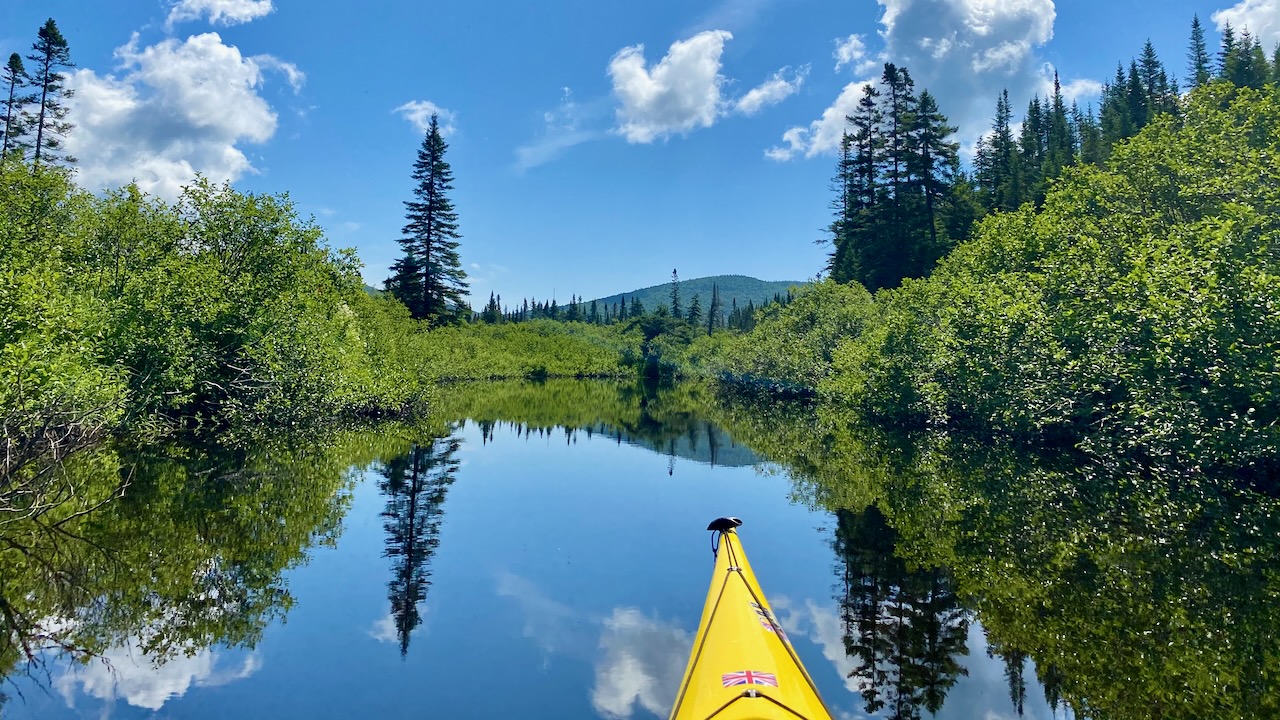
Does anybody know what the water levels are like in Northern NH. I’m particularly interested in Lake Francis, East Inlet, and Scot Bog. Given that most of New England is experiencing a major drought I worry that parts of these bodies of water will be highly restricted, particularly the channels in the Northeast part of East Inlets, which is probably some of the prettiest water in New England.
I’d be interested in hearing how the western part of upper NH is doing. I was at Androscoggin River by Errol a couple of weeks ago. It’s the lowest flow I’ve seen in quite a number of years for that river. The Androscoggin drains the chain of lakes: Umbagog, Richardson and Mooselookmeguntic. When I drove by Umbagog, that lake level look “normal” for this time of year. Could be because they were holding back the outlet flow…
I have no idea about northern NH, but we just got back from northern VT and waters there were the lowest I’ve seen. Creeks were pretty dry, the Winooski river was low and stagnant, and Lake Champlain was 1 foot from its record low as of Monday.
My favorite local place in southern NH, Lake Massabesic, is a drinking water reservoir, and it’s really low too. One of boat launches is unusable and the other is really shallow for a long way out, so there haven’t been many boats on the lake.
My guess is this is a bad time to visit up north. Even if waters are passable, the passage could be so weedy that it’s not worth it.
I keep a bookmark on the USGS gauge main site – I see that the Lake Francis USGS monitoring station seems to be one of those that was shut down due to the slashing of the USGS budget this year by nearly half (over $500 million). Same for many others in the state, and nationwide. So much “winning”. I suppose providing real time critical information to users of our waters was classified as “waste and abuse.” As the agency explains:
I drove from Berlin to Errol two weeks ago and agree: I’ve never seen the Adroscoggin that low. Kinda depressing. The Pontook Reservoir looked full though.
I think they were releasing just enough water to keep the river below the dams cool and oxygenated. The trout fishing was pretty good. Not so great for the WW paddlers. The rafters were going straight down the middle. The normal river eddies and pockets on the side were just exposed boulders.
The stream behind my cabin was down to a trickle. Didn’t even try to fish that.