My three children went together and gave me a camera drone for Christmas last year. I was looking forward to using it at the coast and sailing. I had no idea I wanted one until I flew it and saw what it could do. I have added photos I took with it.

We put on the water at 1PM about and hour after high tide for the 11 miles out to camp.


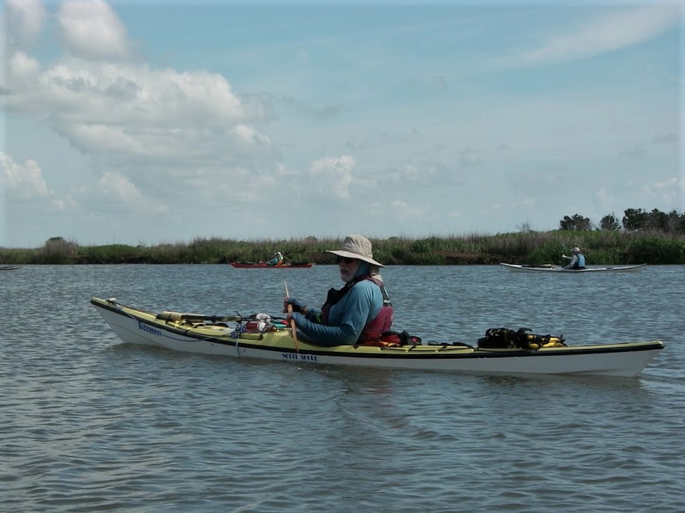

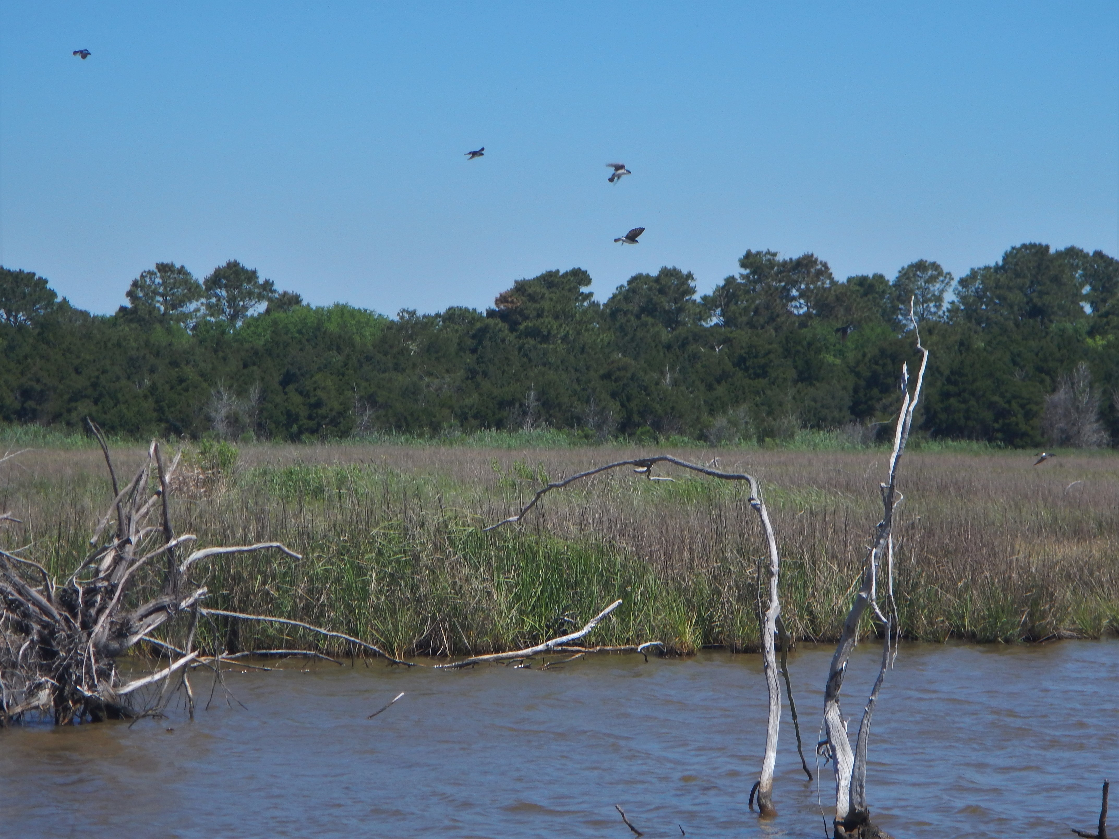
There isn’t much undeveloped Atlantic coast line left in the USA. Somewhere you go and not see another person. We did not see another boat Friday when we left the ICW at McClellanville. Not until Saturday noon did a fishing boat enter the small mostly shallow bay. Between the barrier islands and the marsh islands.


Tides are a mystery to many inland sailors, paddlers, and power boaters. We have tide charts with lots of info that are accurate enough. I made the mistake of using a 3 week old prediction I used for trip planning and the Sunday AM high was a good foot higher than my info. A foot can be a lot when the beaches are low. I always pitch my tent as high as possible, and my kayak higher still or tied off. Only one of us cut it close as the water went under his tent, but he and his gear stay dry. He sleep through the sound of the light surf. Second night one tends to sleep very sound!

We camped at the mouth of the inlet. There were 6 of us in the group with everyone fully vaccinated with separate tents for each. Enough wind to ground most of the biting insects for most of the trip… Friday until the beach fire was going good a headnet helped to keep the no-see-ems at bay.

The winds were 10 to 15 for most of each day. They were only light for awhile Friday evening, and early mornings. You learn to live with fine beach sand on everything beach camping.


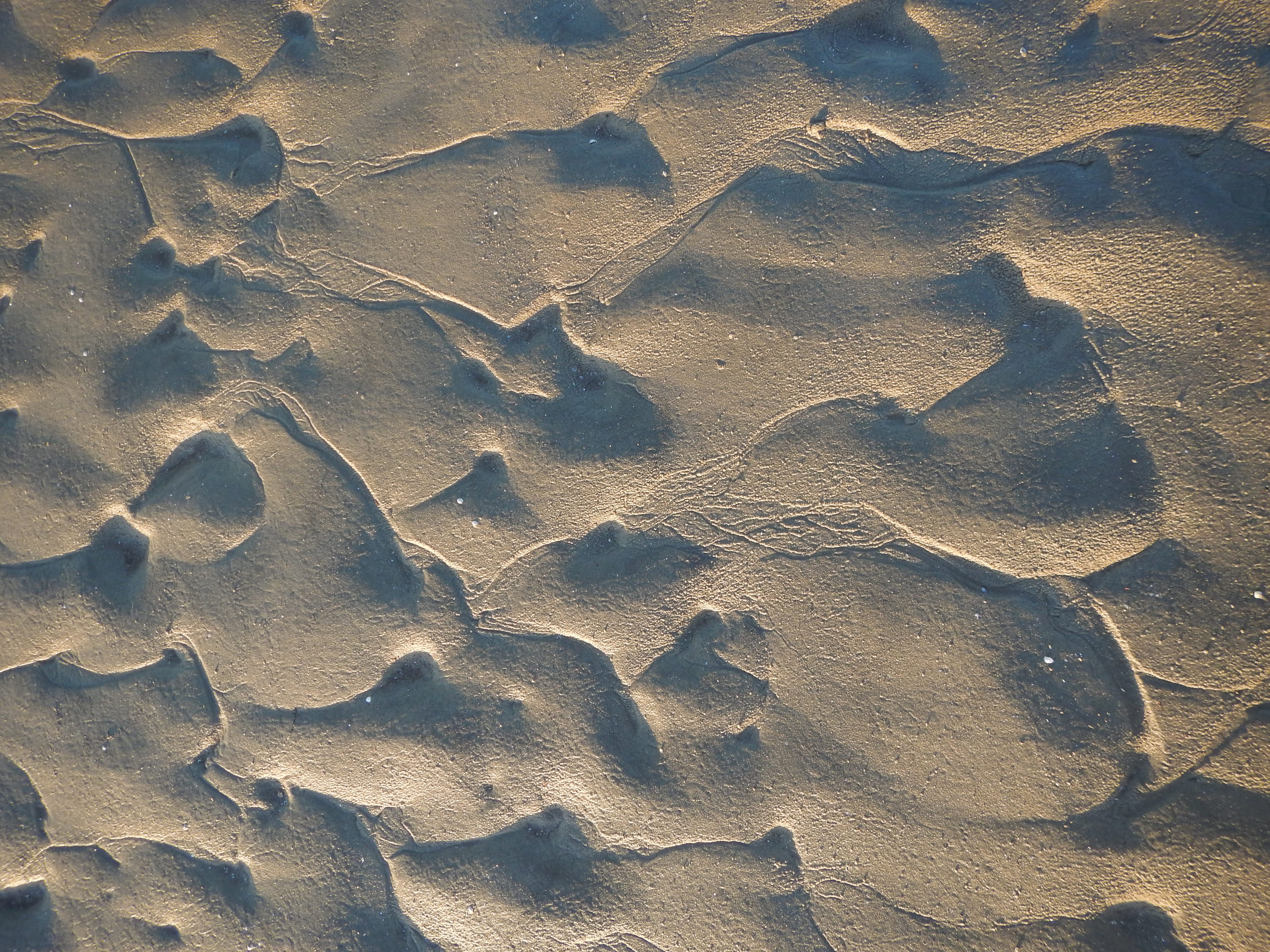
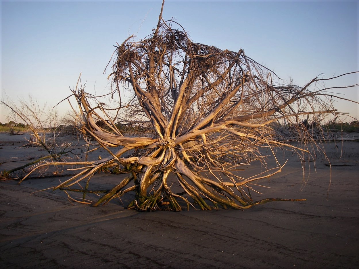
Wind and tide sculpt the sands.


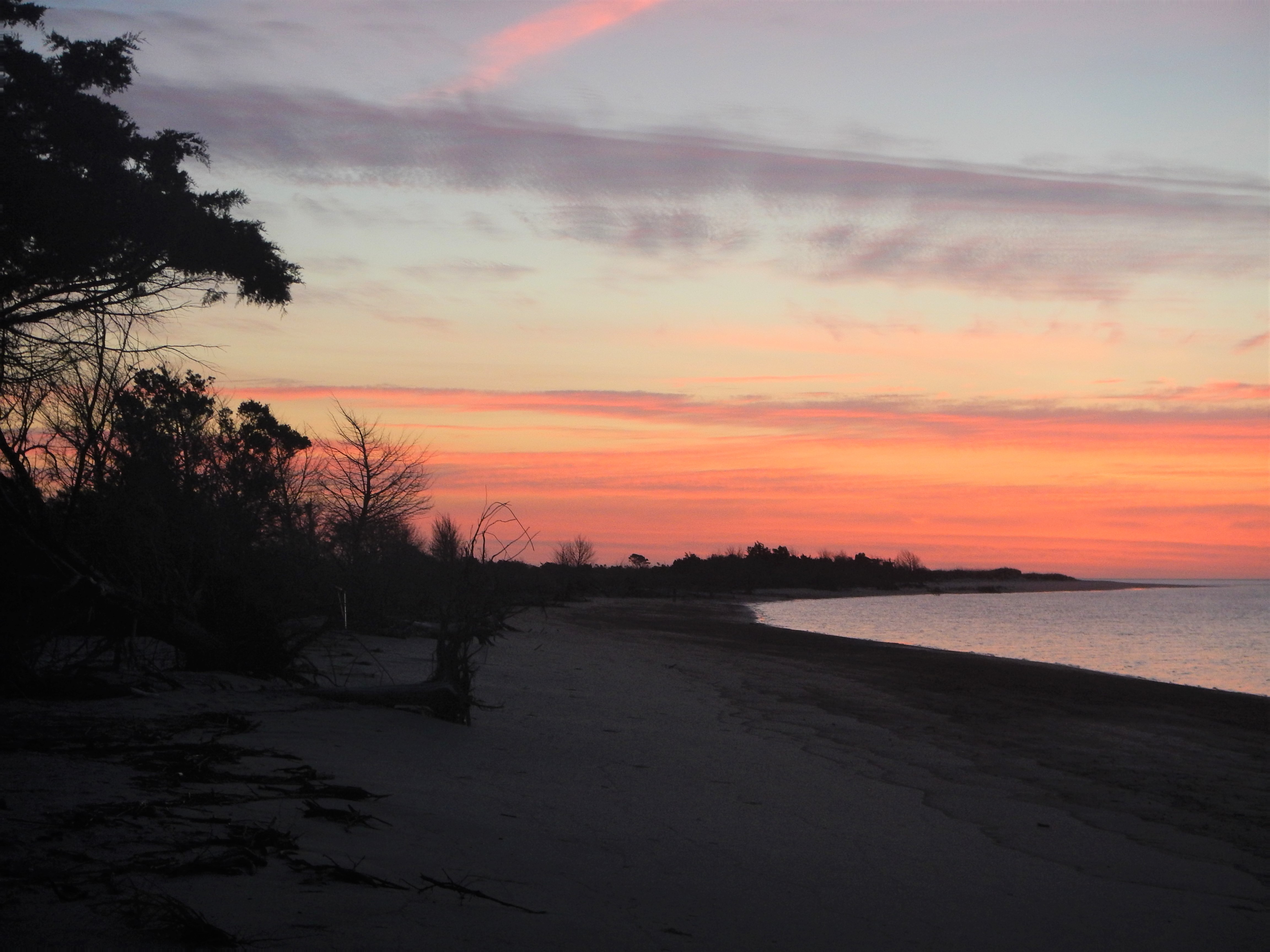
There are the remains of old water filled rice paddies from when rice was king here, behind the beach we camped on. Sunsets are often spectacular at the coast, and this one over the rice paddies is a first for me.


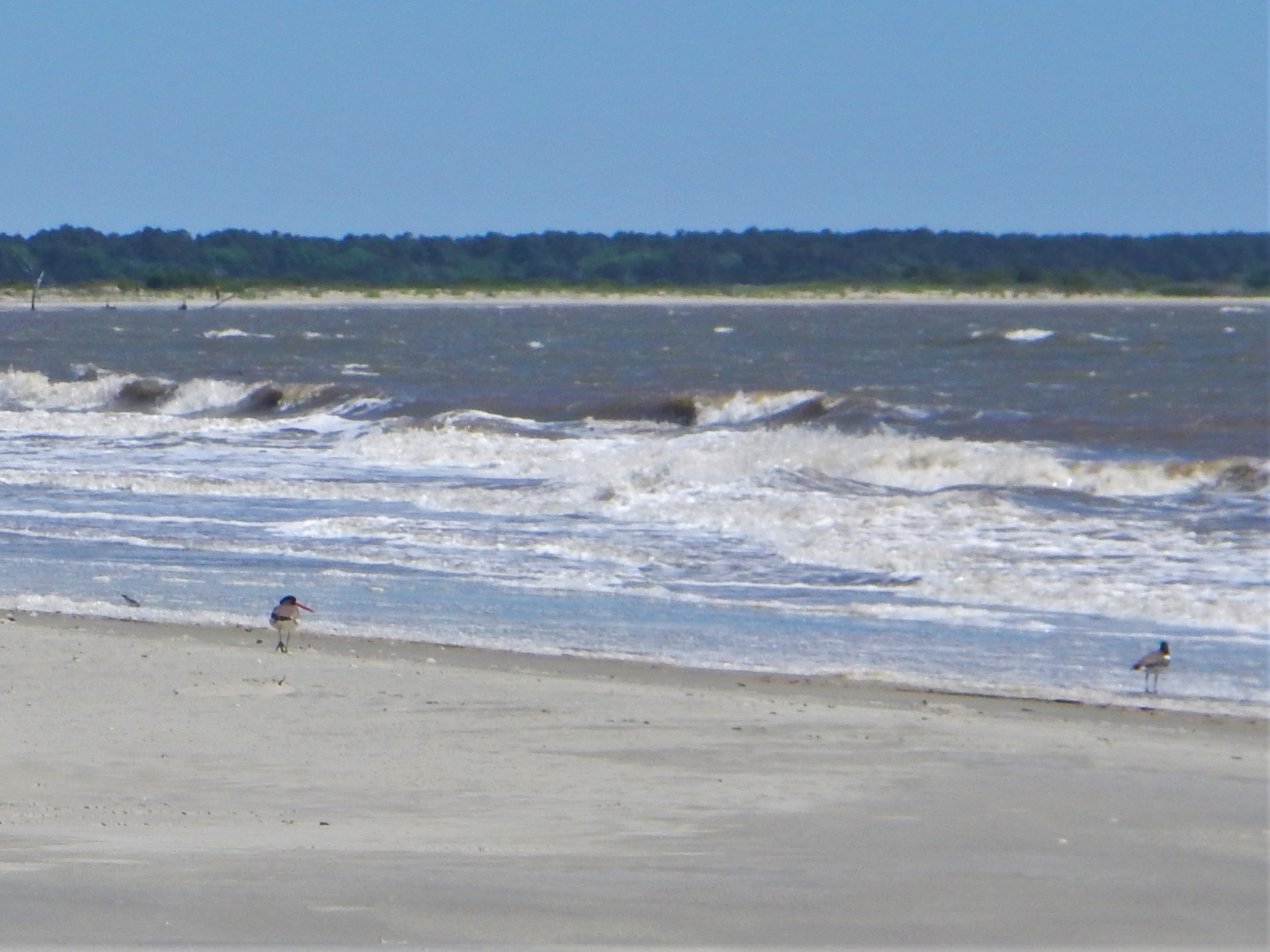
Walking the beach.


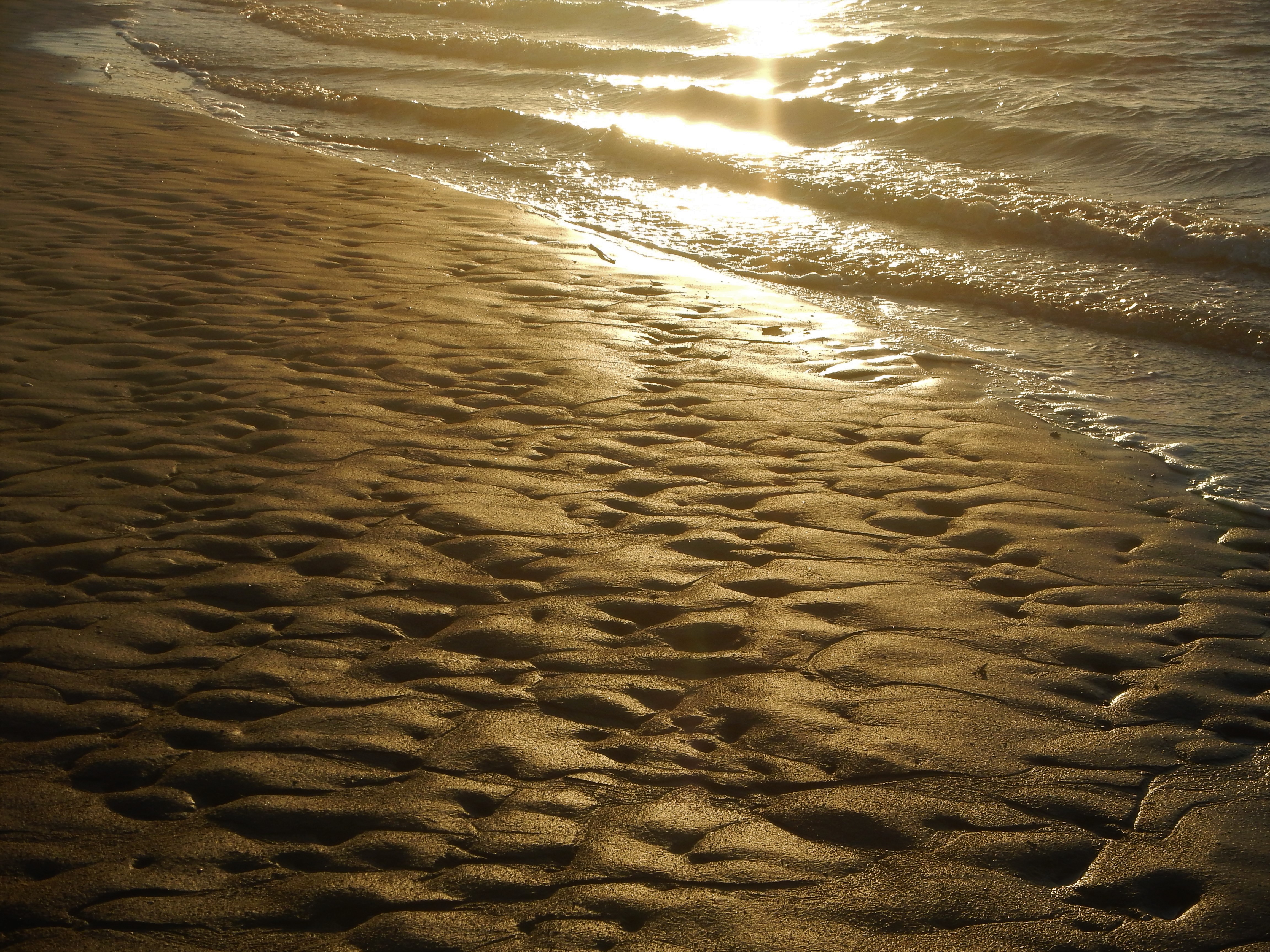
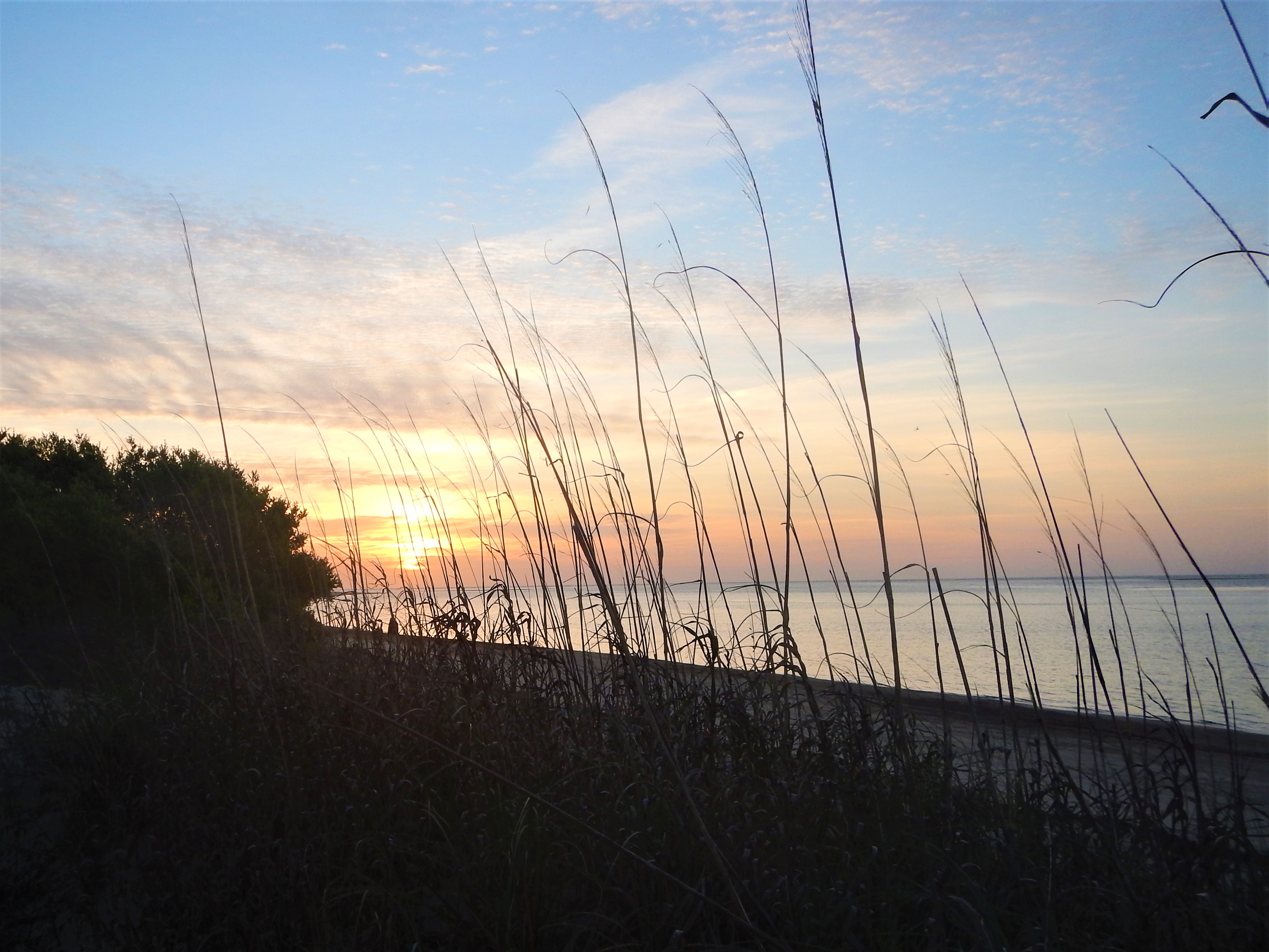
Sunrise was really nice both mornings.


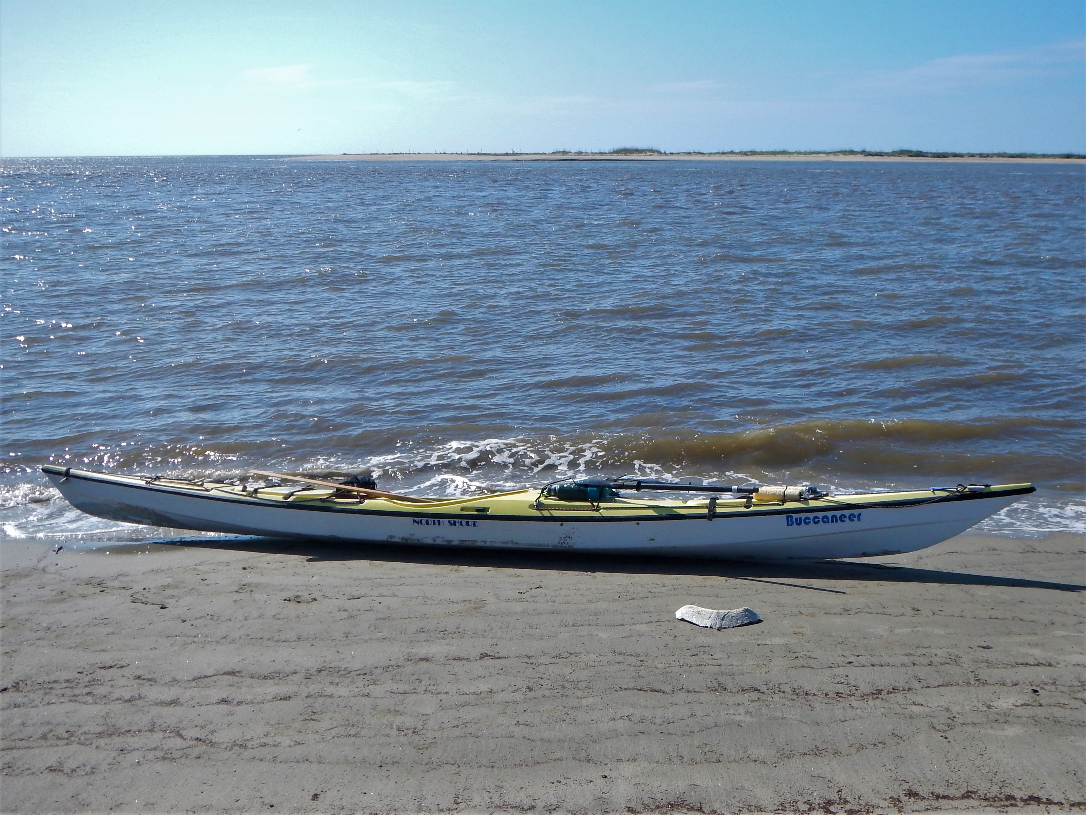
We saw several Loggerhead Turtles. You will see what looks like the top of a stump pop up out of the water, and then disappear. sometimes the shell comes up to. We found the bones from part of the shell of one. I have a photo of it in front of the boat. I don’t think you are allowed to keep any part of a Loggerhead, so left it on the island. The cape has about 1 out of every 4 or 5 turtle nests in the state each year.